Hastings night lights from space
Night Light of Hastings (England) from space (United Kingdom) Src. Average luminocity for 10x10km area is 20.5266% and for 50x50km: 2.5023%.
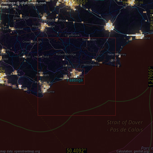
Analysis of Hastings night lights 2016
Square area 10x10 km:
 1.12%
1.12%90-99
1.68%80-89
1.26%70-79
4.34%60-69
4.76%50-59
3.5%40-49
5.46%30-39
4.2%20-29
2.1%10-19
14.99%0-9
56.58%Square area 50x50 km:
0.1%90-99
0.15%80-89
0.23%70-79
0.31%60-69
0.4%50-59
0.48%40-49
0.66%30-39
0.78%20-29
0.49%10-19
1.6%0-9
94.8%Clear (daylight) street map image can be seen on geolist.org.
Map coordinates:
51° 17' 49" North, 0° 7' 48.7" West
50° 51' 18.7" North, 0° 34' 22.5" East
50° 24' 33.1" North, 1° 16' 33.8" East
Some cities around Hastings sort by population:
• Eastbourne
22.4 km =13.9 mi,  244°
244°
• Bexhill-on-Sea
7.2 km =4.5 mi,  265°
265°
• Hailsham
22.1 km =13.7 mi, 272°
• Saint Leonards-on-Sea
1.9 km =1.2 mi, 271°
• New Romney
29.6 km =18.4 mi,  60°
60°
• Tenterden
25 km =15.5 mi,  18°
18°
• Battle
9.3 km =5.8 mi,  317°
317°
• Staplehurst
34 km =21.1 mi,  357°
357°
2647356 (p: 133,422)
Sources (retrieved 2019-11-25):
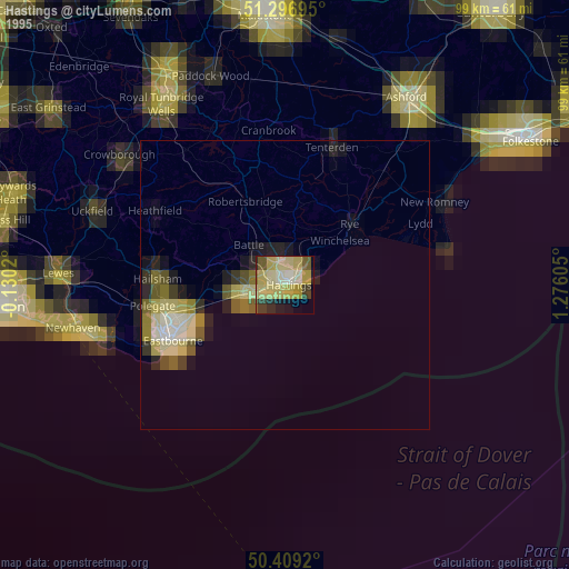
» NASA, Earths city lights 1995
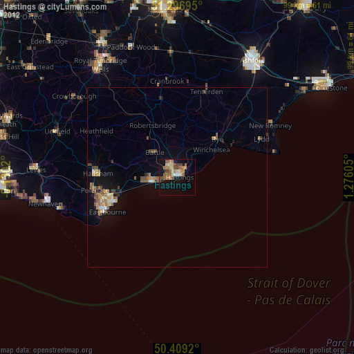
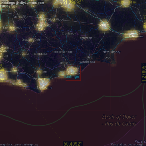
» NASA city lights 2003
» Earth at Night: Flat Maps 2012, 2016