Maidstone night lights from space
Night Light of Maidstone (England) from space (United Kingdom) Src. Average luminocity for 10x10km area is 43.7941% and for 50x50km: 18.5668%.
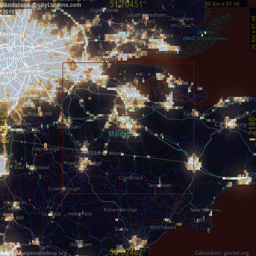

Analysis of Maidstone night lights 2016
Square area 10x10 km:
 5.46%
5.46%90-99
8.68%80-89
2.38%70-79
9.1%60-69
9.52%50-59
4.9%40-49
5.04%30-39
7.42%20-29
15.55%10-19
23.81%0-9
8.12%Square area 50x50 km:
3.04%90-99
3.61%80-89
1.8%70-79
2.22%60-69
2.27%50-59
2.02%40-49
2.22%30-39
3.05%20-29
5.15%10-19
13.15%0-9
61.47%Clear (daylight) street map image can be seen on geolist.org.
Map coordinates:
51° 42' 16.2" North, 0° 11' 11.2" West
51° 16' 0" North, 0° 31' 0" East
50° 49' 28.6" North, 1° 13' 11.3" East
Some cities around Maidstone sort by population:
• Gillingham
13.8 km =8.6 mi,  9°
9°
• Chatham
12.5 km =7.8 mi,  3°
3°
• Rochester
13.5 km =8.4 mi,  356°
356°
• Snodland
8.7 km =5.4 mi,  323°
323°
• Paddock Wood
13.3 km =8.3 mi,  224°
224°
• Larkfield
6.1 km =3.8 mi,  309°
309°
• Rainham
12.5 km =7.8 mi,  30°
30°
• Staplehurst
12 km =7.5 mi,  168°
168°
2643179 (p: 107,627)
Sources (retrieved 2019-11-25):
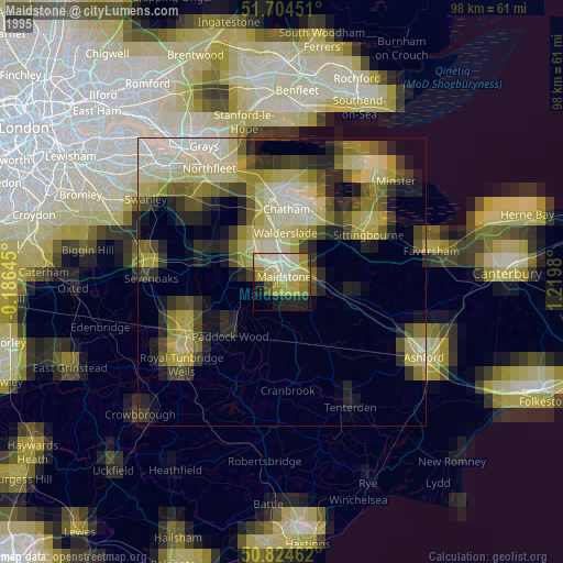
» NASA, Earths city lights 1995
» NASA city lights 2003
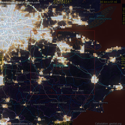
» Earth at Night: Flat Maps 2012, 2016