Battle night lights from space
Night Light of Battle (England) from space (United Kingdom) Src. Average luminocity for 10x10km area is 6.5154% and for 50x50km: 2.9229%.
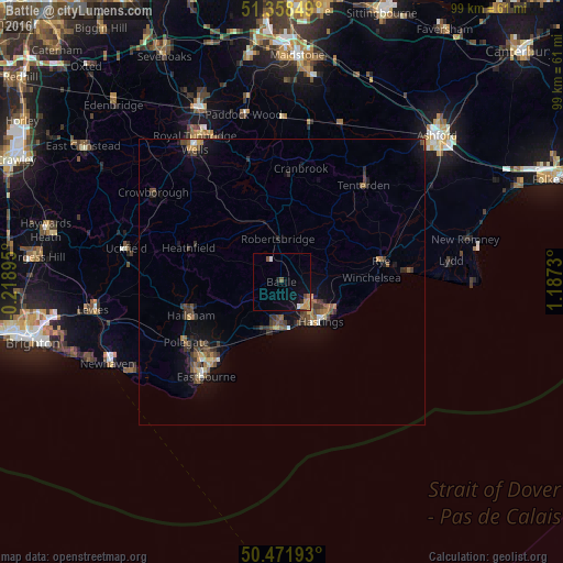
Analysis of Battle night lights 2016
Square area 10x10 km:
 0.56%
0.56%90-99
0.56%80-89
0.56%70-79
1.96%60-69
0.84%50-59
0.56%40-49
1.12%30-39
0%20-29
1.12%10-19
3.22%0-9
89.5%Square area 50x50 km:
0.11%90-99
0.18%80-89
0.24%70-79
0.39%60-69
0.44%50-59
0.53%40-49
0.82%30-39
0.85%20-29
0.6%10-19
1.88%0-9
93.96%Clear (daylight) street map image can be seen on geolist.org.
Map coordinates:
51° 21' 30.6" North, 0° 13' 8.2" West
50° 55' 2.4" North, 0° 29' 3" East
50° 28' 18.9" North, 1° 11' 14.3" East
Some cities around Battle sort by population:
• Hastings
9.3 km =5.8 mi,  137°
137°
• Eastbourne
21.7 km =13.5 mi,  220°
220°
• Bexhill-on-Sea
7.5 km =4.7 mi,  187°
187°
• Hailsham
17 km =10.6 mi,  248°
248°
• Saint Leonards-on-Sea
8.1 km =5 mi,  148°
148°
• Tenterden
22 km =13.7 mi,  40°
40°
• Pembury
27.5 km =17.1 mi,  335°
335°
• Staplehurst
27.5 km =17.1 mi,  9°
9°
2656161 (p: 6,054)
Sources (retrieved 2019-11-25):
» Earth at Night: Flat Maps 2012, 2016