Ashford night lights from space
Night Light of Ashford (England) from space (United Kingdom) Src. Average luminocity for 10x10km area is 31.0307% and for 50x50km: 8.2593%.
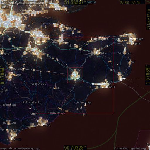
Analysis of Ashford night lights 2016
Square area 10x10 km:
 5.35%
5.35%90-99
8.02%80-89
3.88%70-79
5.08%60-69
1.74%50-59
3.07%40-49
0.67%30-39
0.4%20-29
3.74%10-19
35.43%0-9
32.62%Square area 50x50 km:
0.82%90-99
1.33%80-89
0.95%70-79
1.23%60-69
1.27%50-59
0.94%40-49
0.77%30-39
1.27%20-29
1.59%10-19
7.43%0-9
82.39%Clear (daylight) street map image can be seen on geolist.org.
Map coordinates:
51° 35' 7.7" North, 0° 10' 14.3" East
51° 8' 47.3" North, 0° 52' 25.5" East
50° 42' 11.8" North, 1° 34' 36.8" East
Some cities around Ashford sort by population:
• Folkestone
21.7 km =13.5 mi,  109°
109°
• Canterbury
20.6 km =12.8 mi,  44°
44°
• Faversham
18.7 km =11.6 mi,  3°
3°
• Hythe
16.9 km =10.5 mi,  119°
119°
• New Romney
18.5 km =11.5 mi,  165°
165°
• Hawkinge
20.4 km =12.7 mi,  100°
100°
• Tenterden
15.6 km =9.7 mi,  236°
236°
• Staplehurst
22.5 km =14 mi,  274°
274°
2656955 (p: 62,787)
Sources (retrieved 2019-11-25):
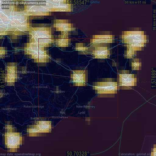
» NASA, Earths city lights 1995
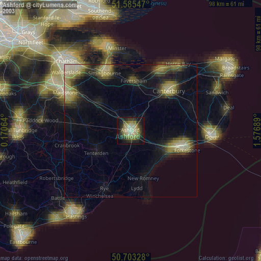
» NASA city lights 2003
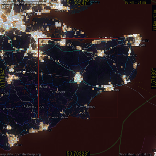
» Earth at Night: Flat Maps 2012, 2016