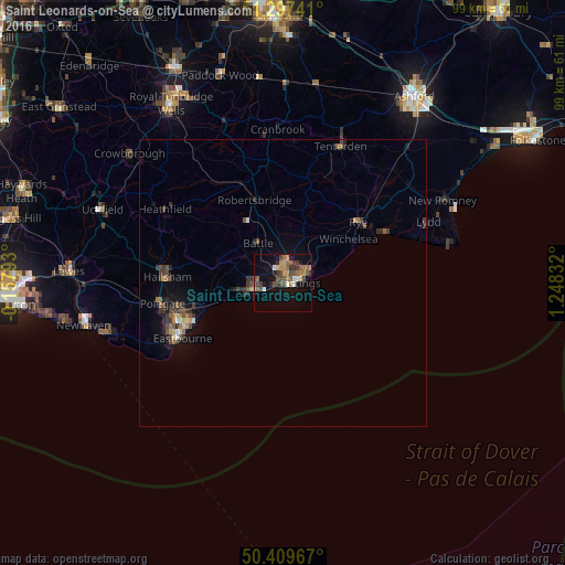
Saint Leonards-on-Sea night lights from space
Night Light of Saint Leonards-on-Sea (England) from space (United Kingdom) Src. Average luminocity for 10x10km area is 23.1961% and for 50x50km: 2.4996%.
Analysis of Saint Leonards-on-Sea night lights 2016
Square area 10x10 km:
 1.54%
1.54%90-99
1.82%80-89
1.26%70-79
4.62%60-69
4.62%50-59
4.9%40-49
6.86%30-39
4.34%20-29
2.1%10-19
15.83%0-9
52.1%Square area 50x50 km:
0.1%90-99
0.15%80-89
0.23%70-79
0.31%60-69
0.4%50-59
0.48%40-49
0.66%30-39
0.77%20-29
0.49%10-19
1.55%0-9
94.85%Clear (daylight) street map image can be seen on geolist.org.
Map coordinates:
51° 17' 50.7" North, 0° 9' 28.5" West
50° 51' 20.3" North, 0° 32' 42.7" East
50° 24' 34.8" North, 1° 14' 54" East
Some cities around Saint Leonards-on-Sea sort by population:
• Hastings
1.9 km =1.2 mi,  91°
91°
• Eastbourne
20.7 km =12.9 mi,  242°
242°
• Bexhill-on-Sea
5.2 km =3.2 mi,  263°
263°
• Seaford
32.5 km =20.2 mi,  253°
253°
• Hailsham
20.2 km =12.6 mi,  272°
272°
• New Romney
31.3 km =19.4 mi,  62°
62°
• Tenterden
25.7 km =16 mi,  22°
22°
• Battle
8.1 km =5 mi,  328°
328°
2638756 (p: 10,001)
Sources (retrieved 2019-11-25):
» Earth at Night: Flat Maps 2012, 2016