New Romney night lights from space
Night Light of New Romney (England) from space (United Kingdom) Src. Average luminocity for 10x10km area is 3.2968% and for 50x50km: 3.589%.
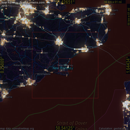
Analysis of New Romney night lights 2016
Square area 10x10 km:
 0.13%
0.13%90-99
0.94%80-89
0%70-79
0%60-69
0.53%50-59
0%40-49
0.4%30-39
1.34%20-29
2.41%10-19
2.27%0-9
91.98%Square area 50x50 km:
0.44%90-99
0.59%80-89
0.37%70-79
0.47%60-69
0.43%50-59
0.46%40-49
0.17%30-39
0.44%20-29
0.43%10-19
3.55%0-9
92.64%Clear (daylight) street map image can be seen on geolist.org.
Map coordinates:
51° 25' 35.4" North, 0° 14' 17.1" East
50° 59' 9.6" North, 0° 56' 28.4" East
50° 32' 28.5" North, 1° 38' 39.6" East
Some cities around New Romney sort by population:
• Hastings
29.6 km =18.4 mi,  240°
240°
• Folkestone
19.1 km =11.9 mi,  56°
56°
• Ashford
18.5 km =11.5 mi,  345°
345°
• Dover
30.3 km =18.8 mi, 59°
• Hythe
13.8 km =8.6 mi,  46°
46°
• Saint Leonards-on-Sea
31.3 km =19.4 mi, 242°
• Hawkinge
20.9 km =13 mi, 47°
• Tenterden
20 km =12.4 mi,  297°
297°
2641582 (p: 9,674)
Sources (retrieved 2019-11-25):
» Earth at Night: Flat Maps 2012, 2016