Swindon night lights from space
Night Light of Swindon (England) from space (United Kingdom) Src. Average luminocity for 10x10km area is 61.5495% and for 50x50km: 6.3574%.
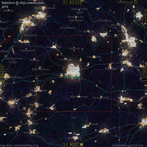
Analysis of Swindon night lights 2016
Square area 10x10 km:
 20.19%
90-99
21.66%80-89
5.21%70-79
4.01%60-69
3.48%50-59
1.74%40-49
3.07%30-39
3.74%20-29
18.45%10-19
16.84%0-9
1.6%Square area 50x50 km:
1.14%90-99
1.35%80-89
0.51%70-79
0.63%60-69
0.8%50-59
0.46%40-49
0.68%30-39
0.69%20-29
1.66%10-19
3.68%0-9
88.41%Clear (daylight) street map image can be seen on geolist.org.
Map coordinates:
51° 59' 34.9" North, 2° 29' 3.4" West
51° 33' 28.7" North, 1° 46' 52.2" West
51° 7' 7.4" North, 1° 4' 40.9" West
Some cities around Swindon sort by population:
• Calne
20.4 km =12.7 mi,  229°
229°
• Royal Wootton Bassett
8.7 km =5.4 mi,  258°
258°
• Marlborough
15.7 km =9.8 mi,  166°
166°
• Highworth
9.4 km =5.8 mi,  30°
30°
• Faringdon
17.3 km =10.7 mi,  50°
50°
• Wroughton
3.9 km =2.4 mi,  194°
194°
• Malmesbury
22 km =13.7 mi,  276°
276°
• Lyneham
13.6 km =8.5 mi,  250°
250°
2636389 (p: 185,609)
Sources (retrieved 2019-11-25):
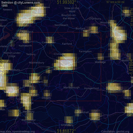
» NASA, Earths city lights 1995
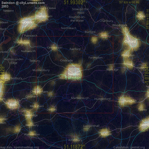
» NASA city lights 2003
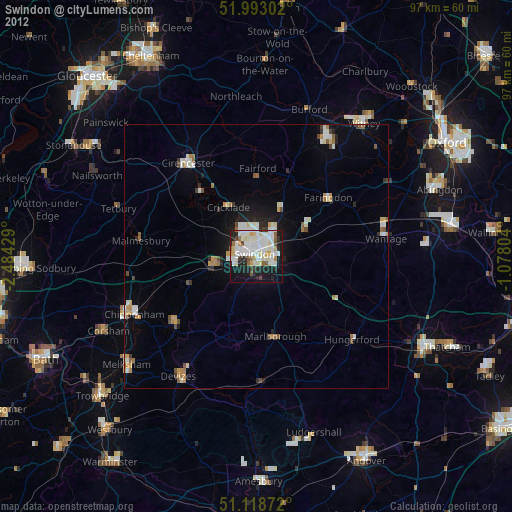
» Earth at Night: Flat Maps 2012, 2016