Lyneham night lights from space
Night Light of Lyneham (England) from space (United Kingdom) Src. Average luminocity for 10x10km area is 3.8984% and for 50x50km: 6.5356%.
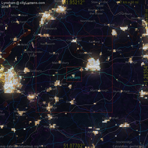
Analysis of Lyneham night lights 2016
Square area 10x10 km:
 0%
0%90-99
0.53%80-89
0%70-79
0.94%60-69
0.8%50-59
0.94%40-49
1.07%30-39
0.53%20-29
0.53%10-19
0%0-9
94.65%Square area 50x50 km:
1.05%90-99
1.2%80-89
0.5%70-79
0.62%60-69
0.85%50-59
0.62%40-49
0.92%30-39
0.77%20-29
1.78%10-19
3.56%0-9
88.13%Clear (daylight) street map image can be seen on geolist.org.
Map coordinates:
51° 57' 7.6" North, 2° 40' 11.2" West
51° 31' 0" North, 1° 58' 0" West
51° 4' 37.3" North, 1° 15' 48.7" West
Some cities around Lyneham sort by population:
• Swindon
13.6 km =8.5 mi,  70°
70°
• Chippenham
12.6 km =7.8 mi,  240°
240°
• Devizes
18.5 km =11.5 mi,  185°
185°
• Calne
9.1 km =5.7 mi,  197°
197°
• Corsham
17.6 km =10.9 mi, 238°
• Royal Wootton Bassett
5.1 km =3.2 mi,  56°
56°
• Wroughton
11.9 km =7.4 mi,  86°
86°
• Malmesbury
11.6 km =7.2 mi,  308°
308°
2643298 (p: 5,437)
Sources (retrieved 2019-11-25):
» Earth at Night: Flat Maps 2012, 2016