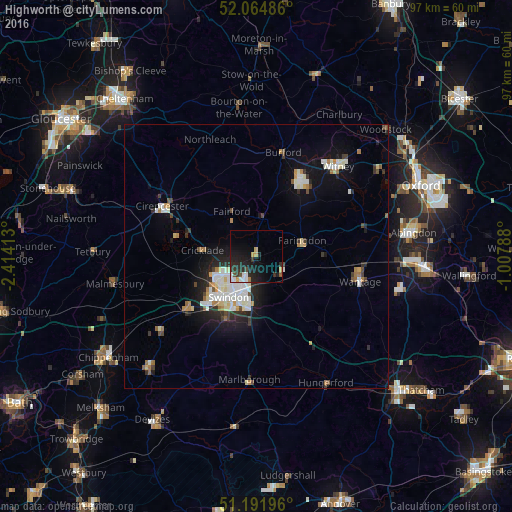
Highworth night lights from space
Night Light of Highworth (England) from space (United Kingdom) Src. Average luminocity for 10x10km area is 14.8501% and for 50x50km: 6.3442%.
Analysis of Highworth night lights 2016
Square area 10x10 km:
 2.52%
2.52%90-99
1.96%80-89
0.7%70-79
2.1%60-69
0.56%50-59
0.56%40-49
1.68%30-39
2.8%20-29
8.4%10-19
16.81%0-9
61.9%Square area 50x50 km:
1.16%90-99
1.45%80-89
0.49%70-79
0.53%60-69
0.67%50-59
0.32%40-49
0.62%30-39
0.7%20-29
1.67%10-19
4.08%0-9
88.3%Clear (daylight) street map image can be seen on geolist.org.
Map coordinates:
52° 3' 53.5" North, 2° 24' 50.9" West
51° 37' 49.8" North, 1° 42' 39.6" West
51° 11' 31.1" North, 1° 0' 28.4" West
Some cities around Highworth sort by population:
• Swindon
9.4 km =5.8 mi,  210°
210°
• Wantage
20.3 km =12.6 mi,  103°
103°
• Grove
20.1 km =12.5 mi, 96°
• Cirencester
20.5 km =12.7 mi,  298°
298°
• Carterton
16.4 km =10.2 mi,  29°
29°
• Royal Wootton Bassett
16.6 km =10.3 mi,  233°
233°
• Faringdon
9 km =5.6 mi,  71°
71°
• Wroughton
13.2 km =8.2 mi, 206°
2646916 (p: 7,886)
Sources (retrieved 2019-11-25):
» Earth at Night: Flat Maps 2012, 2016