Swansea night lights from space
Night Light of Swansea (Wales) from space (United Kingdom) Src. Average luminocity for 10x10km area is 46.1644% and for 50x50km: 8.2337%.
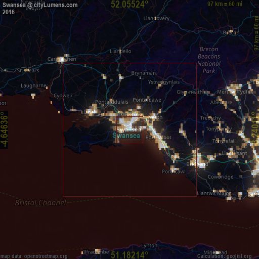
Analysis of Swansea night lights 2016
Square area 10x10 km:
 10.43%
90-99
11.5%80-89
2.67%70-79
3.48%60-69
6.82%50-59
5.88%40-49
4.41%30-39
5.75%20-29
19.65%10-19
21.52%0-9
7.89%Square area 50x50 km:
0.93%90-99
1.23%80-89
0.68%70-79
1.12%60-69
1.18%50-59
1%40-49
1.07%30-39
1.12%20-29
2.91%10-19
7.43%0-9
81.34%Clear (daylight) street map image can be seen on geolist.org.
Map coordinates:
52° 3' 18.9" North, 4° 38' 46.9" West
51° 37' 14.8" North, 3° 56' 35.6" West
51° 10' 55.7" North, 3° 14' 24.4" West
Some cities around Swansea sort by population:
• Llanelli
16.5 km =10.3 mi,  294°
294°
• Neath
10.7 km =6.6 mi,  63°
63°
• Briton Ferry
8.7 km =5.4 mi,  82°
82°
• Ammanford
19.4 km =12.1 mi,  350°
350°
• Gorseinon
8.7 km =5.4 mi,  308°
308°
• Clydach
7.6 km =4.7 mi,  23°
23°
• Pontarddulais
12.3 km =7.6 mi,  327°
327°
• Cwmafan
12.5 km =7.8 mi,  92°
92°
2636432 (p: 300,352)
Sources (retrieved 2019-11-25):
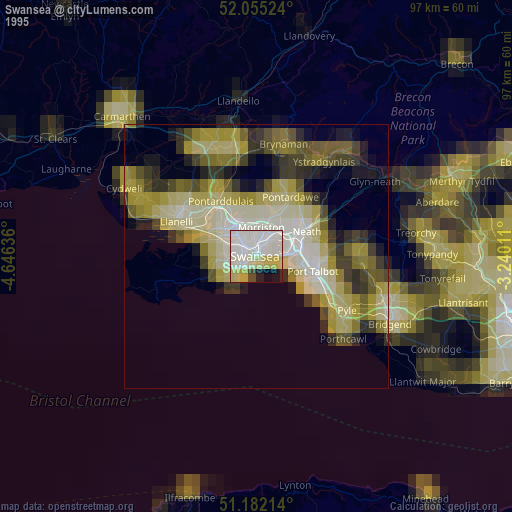
» NASA, Earths city lights 1995
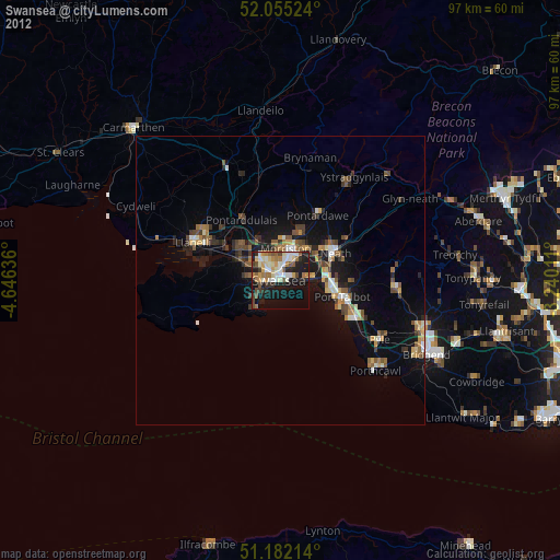
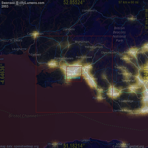
» NASA city lights 2003
» Earth at Night: Flat Maps 2012, 2016