Ammanford night lights from space
Night Light of Ammanford (Wales) from space (United Kingdom) Src. Average luminocity for 10x10km area is 2.9524% and for 50x50km: 7.0737%.
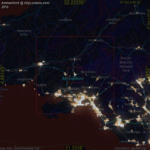
Analysis of Ammanford night lights 2016
Square area 10x10 km:
 0.42%
0.42%90-99
0.7%80-89
0%70-79
0%60-69
0.56%50-59
0%40-49
0%30-39
1.12%20-29
1.68%10-19
0.56%0-9
94.96%Square area 50x50 km:
0.86%90-99
1.11%80-89
0.59%70-79
0.92%60-69
0.94%50-59
0.97%40-49
0.97%30-39
1.04%20-29
2.78%10-19
5.39%0-9
84.42%Clear (daylight) street map image can be seen on geolist.org.
Map coordinates:
52° 13' 32.1" North, 4° 41' 29.2" West
51° 47' 34" North, 3° 59' 18" West
51° 21' 20.9" North, 3° 17' 6.7" West
Some cities around Ammanford sort by population:
• Swansea
19.4 km =12.1 mi,  170°
170°
• Llanelli
17.2 km =10.7 mi,  224°
224°
• Neath
19.2 km =11.9 mi,  138°
138°
• Gorseinon
14.2 km =8.8 mi,  194°
194°
• Clydach
13.6 km =8.5 mi,  153°
153°
• Ystalyfera
14.6 km =9.1 mi,  101°
101°
• Pontarddulais
9.4 km =5.8 mi,  201°
201°
• Brynamman
8.4 km =5.2 mi,  84°
84°
2657345 (p: 23,709)
Sources (retrieved 2019-11-25):
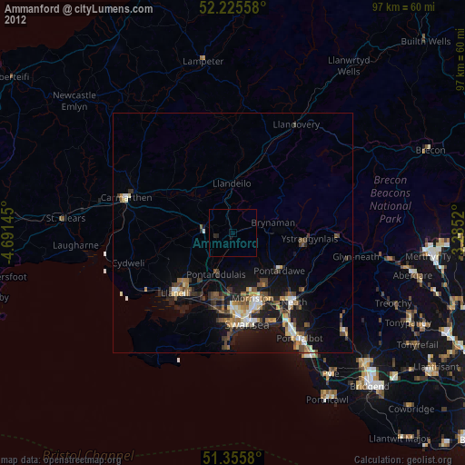
» Earth at Night: Flat Maps 2012, 2016