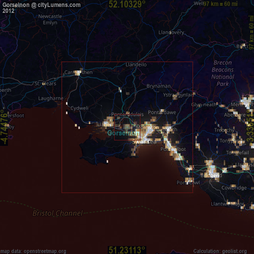
Gorseinon night lights from space
Night Light of Gorseinon (Wales) from space (United Kingdom) Src. Average luminocity for 10x10km area is 26.6162% and for 50x50km: 7.8031%.
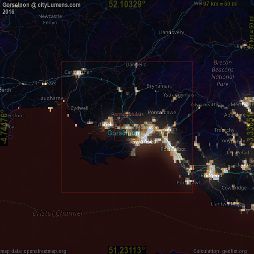
Analysis of Gorseinon night lights 2016
Square area 10x10 km:
 1.54%
1.54%90-99
2.94%80-89
1.54%70-79
2.1%60-69
6.02%50-59
6.02%40-49
4.62%30-39
4.62%20-29
12.46%10-19
29.27%0-9
28.85%Square area 50x50 km:
0.96%90-99
1.25%80-89
0.68%70-79
0.94%60-69
1.07%50-59
0.98%40-49
0.98%30-39
1.15%20-29
2.91%10-19
6.63%0-9
82.46%Clear (daylight) street map image can be seen on geolist.org.
Map coordinates:
52° 6' 11.8" North, 4° 44' 41.1" West
51° 40' 9.5" North, 4° 2' 29.9" West
51° 13' 52.1" North, 3° 20' 18.6" West
Some cities around Gorseinon sort by population:
• Swansea
8.7 km =5.4 mi,  128°
128°
• Llanelli
8.4 km =5.2 mi,  279°
279°
• Neath
16.4 km =10.2 mi,  92°
92°
• Briton Ferry
15.9 km =9.9 mi,  105°
105°
• Ammanford
14.2 km =8.8 mi,  14°
14°
• Clydach
9.9 km =6.2 mi,  80°
80°
• Pontarddulais
5 km =3.1 mi,  2°
2°
• Burry Port
14.2 km =8.8 mi, 276°
2648290 (p: 20,581)
Sources (retrieved 2019-11-25):
» Earth at Night: Flat Maps 2012, 2016