Cwmafan night lights from space
Night Light of Cwmafan (Wales) from space (United Kingdom) Src. Average luminocity for 10x10km area is 30.5254% and for 50x50km: 9.8536%.
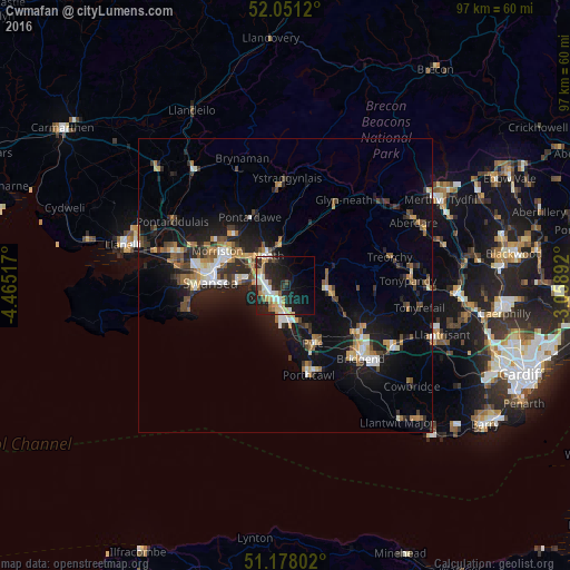
Analysis of Cwmafan night lights 2016
Square area 10x10 km:
 4.28%
4.28%90-99
6.42%80-89
5.08%70-79
3.88%60-69
2.14%50-59
3.34%40-49
1.47%30-39
3.48%20-29
14.71%10-19
21.66%0-9
33.56%Square area 50x50 km:
1.06%90-99
1.44%80-89
0.83%70-79
1.16%60-69
1.47%50-59
1.14%40-49
1.31%30-39
1.49%20-29
3.24%10-19
8.9%0-9
77.95%Clear (daylight) street map image can be seen on geolist.org.
Map coordinates:
52° 3' 4.3" North, 4° 27' 54.6" West
51° 37' 0.2" North, 3° 45' 43.4" West
51° 10' 40.9" North, 3° 3' 32.1" West
Some cities around Cwmafan sort by population:
• Swansea
12.5 km =7.8 mi,  272°
272°
• Neath
5.9 km =3.7 mi,  330°
330°
• Briton Ferry
4.2 km =2.6 mi,  292°
292°
• Maesteg
7.2 km =4.5 mi,  96°
96°
• Clydach
12.1 km =7.5 mi,  307°
307°
• Porthcawl
15.8 km =9.8 mi,  165°
165°
• Pyle
11.9 km =7.4 mi,  158°
158°
• Aberkenfig
14.3 km =8.9 mi,  126°
126°
2651656 (p: 5,336)
Sources (retrieved 2019-11-25):
» Earth at Night: Flat Maps 2012, 2016