Neath night lights from space
Night Light of Neath (Wales) from space (United Kingdom) Src. Average luminocity for 10x10km area is 27.9468% and for 50x50km: 9.6982%.
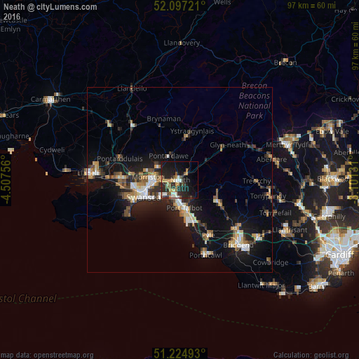
Analysis of Neath night lights 2016
Square area 10x10 km:
 2.66%
2.66%90-99
4.2%80-89
1.82%70-79
5.6%60-69
2.1%50-59
4.34%40-49
3.22%30-39
5.04%20-29
15.83%10-19
26.19%0-9
28.99%Square area 50x50 km:
1.14%90-99
1.46%80-89
0.82%70-79
1.24%60-69
1.41%50-59
1.06%40-49
1.3%30-39
1.38%20-29
3.13%10-19
8.91%0-9
78.15%Clear (daylight) street map image can be seen on geolist.org.
Map coordinates:
52° 5' 50" North, 4° 30' 27.2" West
51° 39' 47.4" North, 3° 48' 15.9" West
51° 13' 29.7" North, 3° 6' 4.7" West
Some cities around Neath sort by population:
• Swansea
10.7 km =6.6 mi,  243°
243°
• Briton Ferry
3.7 km =2.3 mi,  195°
195°
• Maesteg
11.7 km =7.3 mi,  120°
120°
• Clydach
7 km =4.3 mi,  288°
288°
• Ystalyfera
11.7 km =7.3 mi,  8°
8°
• Brynamman
15.8 km =9.8 mi,  344°
344°
• Glyn-neath
15.9 km =9.9 mi,  53°
53°
• Cwmafan
5.9 km =3.7 mi,  150°
150°
2641843 (p: 46,126)
Sources (retrieved 2019-11-25):
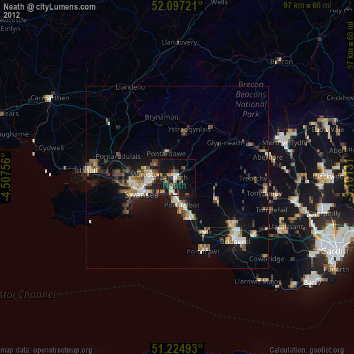
» Earth at Night: Flat Maps 2012, 2016