Briton Ferry night lights from space
Night Light of Briton Ferry (Wales) from space (United Kingdom) Src. Average luminocity for 10x10km area is 41.7451% and for 50x50km: 9.6308%.
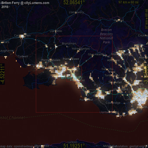
Analysis of Briton Ferry night lights 2016
Square area 10x10 km:
 6.16%
6.16%90-99
8.12%80-89
3.08%70-79
7%60-69
4.48%50-59
5.46%40-49
4.06%30-39
7.84%20-29
24.93%10-19
21.71%0-9
7.14%Square area 50x50 km:
1.15%90-99
1.48%80-89
0.79%70-79
1.24%60-69
1.36%50-59
1.04%40-49
1.26%30-39
1.35%20-29
3.15%10-19
8.96%0-9
78.2%Clear (daylight) street map image can be seen on geolist.org.
Map coordinates:
52° 3' 55.5" North, 4° 31' 19.6" West
51° 37' 51.8" North, 3° 49' 8.3" West
51° 11' 33" North, 3° 6' 57.1" West
Some cities around Briton Ferry sort by population:
• Swansea
8.7 km =5.4 mi,  262°
262°
• Neath
3.7 km =2.3 mi,  15°
15°
• Maesteg
11.4 km =7.1 mi,  102°
102°
• Gorseinon
15.9 km =9.9 mi,  285°
285°
• Clydach
8.1 km =5 mi,  316°
316°
• Pyle
15.1 km =9.4 mi,  147°
147°
• Ystalyfera
15.4 km =9.6 mi,  9°
9°
• Cwmafan
4.2 km =2.6 mi,  112°
112°
2654668 (p: 35,179)
Sources (retrieved 2019-11-25):
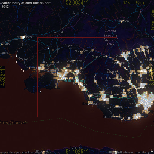
» Earth at Night: Flat Maps 2012, 2016