Pontarddulais night lights from space
Night Light of Pontarddulais (Wales) from space (United Kingdom) Src. Average luminocity for 10x10km area is 12.5% and for 50x50km: 7.673%.
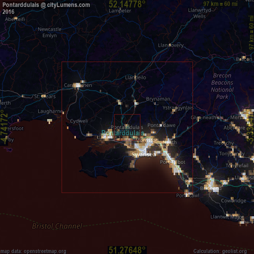
Analysis of Pontarddulais night lights 2016
Square area 10x10 km:
 0%
0%90-99
0.56%80-89
0.98%70-79
0.7%60-69
2.52%50-59
1.4%40-49
2.52%30-39
2.66%20-29
5.46%10-19
21.43%0-9
61.76%Square area 50x50 km:
0.94%90-99
1.2%80-89
0.63%70-79
0.94%60-69
1.04%50-59
0.99%40-49
0.99%30-39
1.14%20-29
2.9%10-19
6.65%0-9
82.59%Clear (daylight) street map image can be seen on geolist.org.
Map coordinates:
52° 8' 52" North, 4° 44' 30.2" West
51° 42' 51.2" North, 4° 2' 18.9" West
51° 16' 35.3" North, 3° 20' 7.7" West
Some cities around Pontarddulais sort by population:
• Swansea
12.3 km =7.6 mi,  147°
147°
• Llanelli
9.2 km =5.7 mi,  247°
247°
• Neath
17.1 km =10.6 mi,  109°
109°
• Ammanford
9.4 km =5.8 mi,  21°
21°
• Gorseinon
5 km =3.1 mi,  182°
182°
• Clydach
10.2 km =6.3 mi, 109°
• Burry Port
14.7 km =9.1 mi,  256°
256°
• Brynamman
15.2 km =9.4 mi,  51°
51°
2640134 (p: 9,073)
Sources (retrieved 2019-11-25):
» Earth at Night: Flat Maps 2012, 2016