Sudbury night lights from space
Night Light of Sudbury (England) from space (United Kingdom) Src. Average luminocity for 10x10km area is 5.6086% and for 50x50km: 4.6098%.
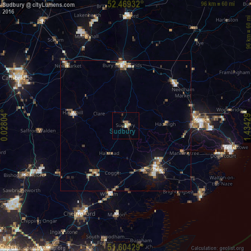
Analysis of Sudbury night lights 2016
Square area 10x10 km:
 0.38%
0.38%90-99
0.13%80-89
1.01%70-79
1.39%60-69
1.14%50-59
0.51%40-49
0.13%30-39
2.78%20-29
0.38%10-19
0.51%0-9
91.67%Square area 50x50 km:
0.44%90-99
0.58%80-89
0.43%70-79
0.51%60-69
0.73%50-59
0.78%40-49
0.65%30-39
0.88%20-29
0.77%10-19
2.66%0-9
91.58%Clear (daylight) street map image can be seen on geolist.org.
Map coordinates:
52° 28' 9.6" North, 0° 1' 40.9" East
52° 2' 20" North, 0° 43' 52.2" East
51° 36' 15.4" North, 1° 26' 3.4" East
Some cities around Sudbury sort by population:
• Colchester
20.4 km =12.7 mi,  144°
144°
• Braintree
21.6 km =13.4 mi,  214°
214°
• Bury St Edmunds
23.1 km =14.4 mi,  356°
356°
• Haverhill
20.6 km =12.8 mi,  283°
283°
• Stowmarket
24.7 km =15.3 mi,  47°
47°
• Halstead
12.2 km =7.6 mi, 211°
• Hadleigh
15.2 km =9.4 mi,  87°
87°
• Kelvedon
22.2 km =13.8 mi,  184°
184°
2636564 (p: 22,213)
Sources (retrieved 2019-11-25):
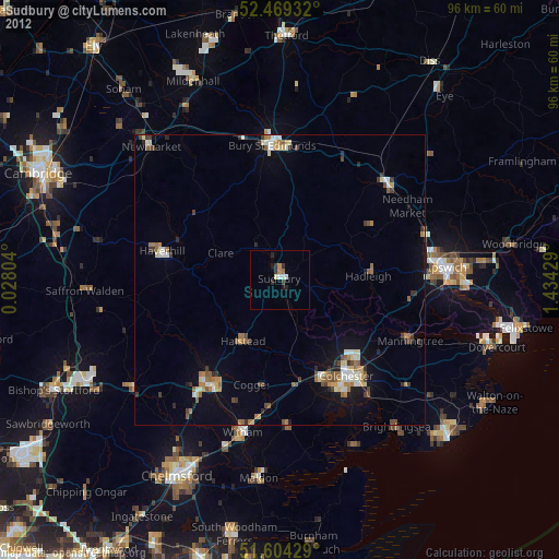
» Earth at Night: Flat Maps 2012, 2016