Bury St Edmunds night lights from space
Night Light of Bury St Edmunds (England) from space (United Kingdom) Src. Average luminocity for 10x10km area is 17.5093% and for 50x50km: 3.7852%.
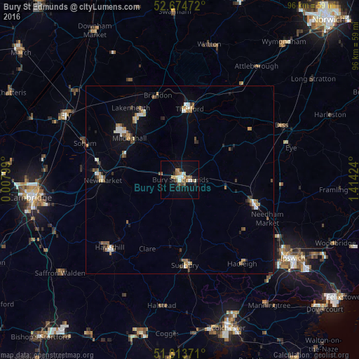
Analysis of Bury St Edmunds night lights 2016
Square area 10x10 km:
 1.59%
1.59%90-99
3.17%80-89
1.98%70-79
2.38%60-69
3.04%50-59
2.12%40-49
2.65%30-39
1.32%20-29
1.59%10-19
11.64%0-9
68.52%Square area 50x50 km:
0.41%90-99
0.57%80-89
0.3%70-79
0.5%60-69
0.59%50-59
0.48%40-49
0.42%30-39
0.54%20-29
0.47%10-19
1.8%0-9
93.91%Clear (daylight) street map image can be seen on geolist.org.
Map coordinates:
52° 40' 29" North, 0° 0' 28.8" East
52° 14' 46.7" North, 0° 42' 40" East
51° 48' 49.4" North, 1° 24' 51.3" East
Some cities around Bury St Edmunds sort by population:
• Haverhill
26 km =16.2 mi,  225°
225°
• Thetford
19.1 km =11.9 mi,  7°
7°
• Sudbury
23.1 km =14.4 mi,  176°
176°
• Stowmarket
20.5 km =12.7 mi,  108°
108°
• Newmarket
20.9 km =13 mi,  269°
269°
• Mildenhall
17.5 km =10.9 mi,  308°
308°
• Soham
27.3 km =17 mi,  291°
291°
• Burwell
26.3 km =16.3 mi,  277°
277°
2654186 (p: 42,812)
Sources (retrieved 2019-11-25):
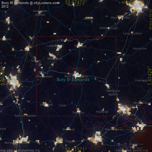
» Earth at Night: Flat Maps 2012, 2016