Kelvedon night lights from space
Night Light of Kelvedon (England) from space (United Kingdom) Src. Average luminocity for 10x10km area is 8.4944% and for 50x50km: 5.8194%.
Analysis of Kelvedon night lights 2016
Square area 10x10 km:
 1.82%
1.82%90-99
0.98%80-89
0%70-79
0.7%60-69
0.98%50-59
1.54%40-49
2.1%30-39
2.66%20-29
1.26%10-19
1.54%0-9
86.41%Square area 50x50 km:
0.5%90-99
0.55%80-89
0.5%70-79
0.52%60-69
0.74%50-59
0.92%40-49
1.16%30-39
1.34%20-29
1.25%10-19
4.9%0-9
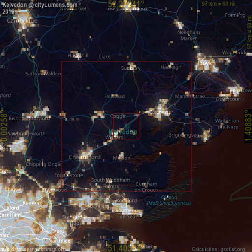
87.63%Clear (daylight) street map image can be seen on geolist.org.
Map coordinates:
52° 16' 20.7" North, 0° 0' 9.3" East
51° 50' 24.3" North, 0° 42' 20.5" East
51° 24' 12.7" North, 1° 24' 31.8" East
Some cities around Kelvedon sort by population:
• Colchester
14.7 km =9.1 mi,  68°
68°
• Braintree
11.3 km =7 mi,  291°
291°
• Witham
6.3 km =3.9 mi,  225°
225°
• Maldon
12.3 km =7.6 mi,  190°
190°
• Halstead
12.5 km =7.8 mi,  338°
338°
• Tiptree
4.1 km =2.5 mi,  138°
138°
• West Mersea
16.2 km =10.1 mi,  115°
115°
• Danbury
16.1 km =10 mi,  211°
211°
2645841 (p: 5,322)
Sources (retrieved 2019-11-25):
» Earth at Night: Flat Maps 2012, 2016