Haverhill night lights from space
Night Light of Haverhill (England) from space (United Kingdom) Src. Average luminocity for 10x10km area is 7.0066% and for 50x50km: 5.794%.
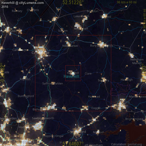
Analysis of Haverhill night lights 2016
Square area 10x10 km:
 0.93%
0.93%90-99
1.19%80-89
0%70-79
0.4%60-69
1.72%50-59
1.98%40-49
0.26%30-39
1.72%20-29
0.79%10-19
0.53%0-9
90.48%Square area 50x50 km:
0.67%90-99
0.8%80-89
0.58%70-79
0.54%60-69
0.88%50-59
1.01%40-49
0.92%30-39
0.99%20-29
1.25%10-19
3.57%0-9
88.79%Clear (daylight) street map image can be seen on geolist.org.
Map coordinates:
52° 30' 44.1" North, 0° 15' 51.2" West
52° 4' 56.1" North, 0° 26' 20.1" East
51° 38' 53.1" North, 1° 8' 31.3" East
Some cities around Haverhill sort by population:
• Braintree
24 km =14.9 mi,  161°
161°
• Sudbury
20.6 km =12.8 mi,  103°
103°
• Newmarket
18.2 km =11.3 mi,  352°
352°
• Saffron Walden
15 km =9.3 mi,  244°
244°
• Halstead
20.5 km =12.7 mi,  138°
138°
• Great Dunmow
23.9 km =14.9 mi,  192°
192°
• Sawston
18.9 km =11.7 mi,  283°
283°
• Burwell
22.9 km =14.2 mi,  340°
340°
2647310 (p: 27,041)
Sources (retrieved 2019-11-25):
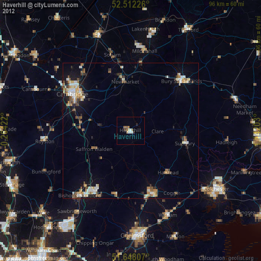
» Earth at Night: Flat Maps 2012, 2016