Stranraer night lights from space
Night Light of Stranraer (Scotland) from space (United Kingdom) Src. Average luminocity for 10x10km area is 3.7321% and for 50x50km: 0.3504%.
Analysis of Stranraer night lights 2016
Square area 10x10 km:
 0.36%
0.36%90-99
0.6%80-89
0.48%70-79
0%60-69
0.96%50-59
0.96%40-49
0.96%30-39
0%20-29
0.48%10-19
0%0-9
95.22%Square area 50x50 km:
0.03%90-99
0.03%80-89
0.02%70-79
0.06%60-69
0.15%50-59
0.06%40-49
0.06%30-39
0.04%20-29
0.02%10-19
0%0-9
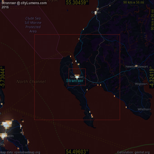
99.53%Clear (daylight) street map image can be seen on geolist.org.
Map coordinates:
55° 18' 16.5" North, 5° 43' 49.6" West
54° 54' 8.4" North, 5° 1' 38.3" West
54° 29' 45.7" North, 4° 19' 27.1" West
Some cities around Stranraer sort by population:
• Bangor
49.6 km =30.8 mi,  236°
236°
• Newtownards
54.8 km =34.1 mi,  231°
231°
• Carrickfergus
54 km =33.6 mi,  247°
247°
• Larne
50.8 km =31.6 mi,  263°
263°
• Holywood
59 km =36.7 mi, 240°
• Donaghadee
43.7 km =27.2 mi, 228°
• Girvan
39.4 km =24.5 mi,  16°
16°
• Greenisland
58.8 km =36.5 mi, 247°
2636719 (p: 10,510)
Sources (retrieved 2019-11-25):
» Earth at Night: Flat Maps 2012, 2016