Greenisland night lights from space
Night Light of Greenisland (Northern Ireland) from space (United Kingdom) Src. Average luminocity for 10x10km area is 38.4875% and for 50x50km: 13.9455%.
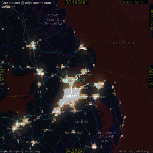
Analysis of Greenisland night lights 2016
Square area 10x10 km:
 6.02%
6.02%90-99
9.52%80-89
3.76%70-79
4.14%60-69
4.01%50-59
3.88%40-49
2.51%30-39
4.89%20-29
14.29%10-19
38.47%0-9
8.52%Square area 50x50 km:
3.07%90-99
3.08%80-89
0.9%70-79
1.51%60-69
1.18%50-59
1.35%40-49
1.53%30-39
1.78%20-29
3.72%10-19
9.84%0-9
72.05%Clear (daylight) street map image can be seen on geolist.org.
Map coordinates:
55° 6' 18.3" North, 6° 34' 40.5" West
54° 42' 2.9" North, 5° 52' 29.2" West
54° 17' 32.9" North, 5° 10' 18" West
Some cities around Greenisland sort by population:
• Belfast
12 km =7.5 mi,  195°
195°
• Newtownabbey
5 km =3.1 mi,  205°
205°
• Bangor
14.2 km =8.8 mi,  111°
111°
• Carrickfergus
4.7 km =2.9 mi,  69°
69°
• Dundonald
13.1 km =8.1 mi,  157°
157°
• Holywood
7.6 km =4.7 mi, 155°
• Ballyclare
9.8 km =6.1 mi,  304°
304°
• Jordanstown
2.5 km =1.6 mi,  219°
219°
2647957 (p: 5,073)
Sources (retrieved 2019-11-25):
» Earth at Night: Flat Maps 2012, 2016