Donaghadee night lights from space
Night Light of Donaghadee (Northern Ireland) from space (United Kingdom) Src. Average luminocity for 10x10km area is 4.5815% and for 50x50km: 7.3239%.
Analysis of Donaghadee night lights 2016
Square area 10x10 km:
 0.25%
0.25%90-99
0.25%80-89
0%70-79
0.13%60-69
0.38%50-59
0.5%40-49
2.26%30-39
0.75%20-29
2.88%10-19
1%0-9
91.6%Square area 50x50 km:
1.5%90-99
1.44%80-89
0.47%70-79
0.91%60-69
0.63%50-59
0.84%40-49
0.94%30-39
0.83%20-29
1.93%10-19
5.76%0-9
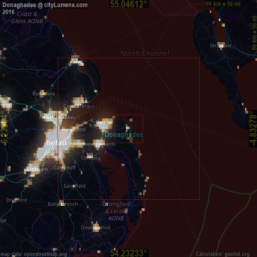
84.74%Clear (daylight) street map image can be seen on geolist.org.
Map coordinates:
55° 2' 46" North, 6° 14' 20.5" West
54° 38' 28.5" North, 5° 32' 9.3" West
54° 13' 56.4" North, 4° 49' 58" West
Some cities around Donaghadee sort by population:
• Bangor
8.7 km =5.4 mi,  278°
278°
• Castlereagh
23.7 km =14.7 mi,  251°
251°
• Newtownards
11.4 km =7.1 mi,  241°
241°
• Carrickfergus
19.2 km =11.9 mi,  295°
295°
• Dundonald
17.7 km =11 mi, 252°
• Holywood
18.6 km =11.6 mi,  269°
269°
• Comber
16.8 km =10.4 mi,  232°
232°
• Greenisland
22.8 km =14.2 mi,  286°
286°
2651133 (p: 7,369)
Sources (retrieved 2019-11-25):
» Earth at Night: Flat Maps 2012, 2016