Girvan night lights from space
Night Light of Girvan (Scotland) from space (United Kingdom) Src. Average luminocity for 10x10km area is 2.7093% and for 50x50km: 1.0783%.
Analysis of Girvan night lights 2016
Square area 10x10 km:
 0.36%
0.36%90-99
0.6%80-89
0.48%70-79
0%60-69
0.36%50-59
0.6%40-49
0.36%30-39
0.36%20-29
0.24%10-19
0.48%0-9
96.17%Square area 50x50 km:
0.12%90-99
0.15%80-89
0.09%70-79
0.16%60-69
0.19%50-59
0.19%40-49
0.11%30-39
0.16%20-29
0.17%10-19
0.89%0-9
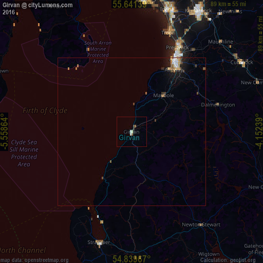
97.77%Clear (daylight) street map image can be seen on geolist.org.
Map coordinates:
55° 38' 29" North, 5° 33' 31.1" West
55° 14' 33.2" North, 4° 51' 19.8" West
54° 50' 22.8" North, 4° 9' 8.6" West
Some cities around Girvan sort by population:
• Ayr
28.2 km =17.5 mi,  29°
29°
• Irvine
43.8 km =27.2 mi,  16°
16°
• Prestwick
30.7 km =19.1 mi, 29°
• Troon
35.6 km =22.1 mi, 19°
• Saltcoats
44 km =27.3 mi,  5°
5°
• Stranraer
39.4 km =24.5 mi,  196°
196°
• Cumnock
44.1 km =27.4 mi,  57°
57°
• Isle of Arran
43.9 km =27.3 mi,  329°
329°
2648626 (p: 6,650)
Sources (retrieved 2019-11-25):
» Earth at Night: Flat Maps 2012, 2016