Newtownards night lights from space
Night Light of Newtownards (Northern Ireland) from space (United Kingdom) Src. Average luminocity for 10x10km area is 21.5287% and for 50x50km: 12.2723%.
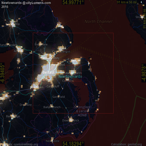
Analysis of Newtownards night lights 2016
Square area 10x10 km:
 2.15%
2.15%90-99
3.11%80-89
1.67%70-79
2.87%60-69
1.32%50-59
3.11%40-49
2.27%30-39
1.67%20-29
8.61%10-19
42.11%0-9
31.1%Square area 50x50 km:
2.77%90-99
2.77%80-89
0.8%70-79
1.24%60-69
1.11%50-59
1.26%40-49
1.3%30-39
1.77%20-29
3.58%10-19
7.99%0-9
75.4%Clear (daylight) street map image can be seen on geolist.org.
Map coordinates:
54° 59' 51.8" North, 6° 23' 38.6" West
54° 35' 32.5" North, 5° 41' 27.3" West
54° 10' 58.6" North, 4° 59' 16.1" West
Some cities around Newtownards sort by population:
• Belfast
15.1 km =9.4 mi,  271°
271°
• Bangor
6.9 km =4.3 mi,  11°
11°
• Castlereagh
12.7 km =7.9 mi,  260°
260°
• Dundonald
6.9 km =4.3 mi, 269°
• Holywood
10 km =6.2 mi,  300°
300°
• Comber
5.9 km =3.7 mi,  215°
215°
• Carryduff
15.1 km =9.4 mi,  236°
236°
• Donaghadee
11.4 km =7.1 mi,  61°
61°
2641519 (p: 29,363)
Sources (retrieved 2019-11-25):
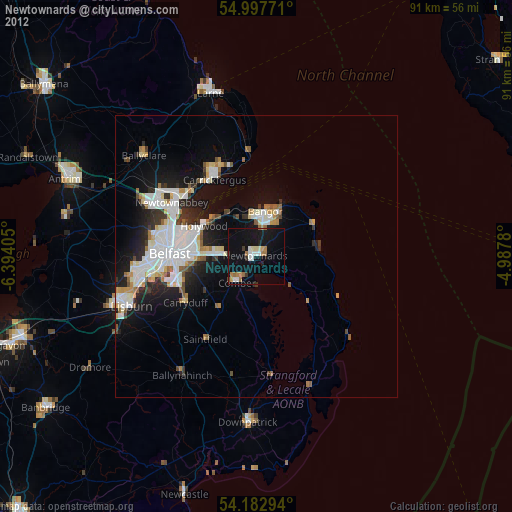
» Earth at Night: Flat Maps 2012, 2016