Holywood night lights from space
Night Light of Holywood (Northern Ireland) from space (United Kingdom) Src. Average luminocity for 10x10km area is 43.3922% and for 50x50km: 13.5301%.
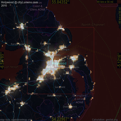
Analysis of Holywood night lights 2016
Square area 10x10 km:
 14.91%
90-99
6.77%80-89
1.88%70-79
4.39%60-69
2.13%50-59
4.26%40-49
6.89%30-39
8.77%20-29
13.66%10-19
23.31%0-9
13.03%Square area 50x50 km:
2.99%90-99
2.99%80-89
0.86%70-79
1.42%60-69
1.2%50-59
1.43%40-49
1.41%30-39
1.77%20-29
3.74%10-19
9.31%0-9
72.88%Clear (daylight) street map image can be seen on geolist.org.
Map coordinates:
55° 2' 36.7" North, 6° 31' 40.3" West
54° 38' 19.1" North, 5° 49' 29" West
54° 13' 46.8" North, 5° 7' 17.8" West
Some cities around Holywood sort by population:
• Belfast
8 km =5 mi,  234°
234°
• Newtownabbey
5.9 km =3.7 mi,  293°
293°
• Castlereagh
8.2 km =5.1 mi,  208°
208°
• Newtownards
10 km =6.2 mi,  120°
120°
• Carrickfergus
8.7 km =5.4 mi,  8°
8°
• Dundonald
5.5 km =3.4 mi,  161°
161°
• Jordanstown
6.9 km =4.3 mi,  315°
315°
• Greenisland
7.6 km =4.7 mi,  335°
335°
2646670 (p: 13,109)
Sources (retrieved 2019-11-25):
» Earth at Night: Flat Maps 2012, 2016