Carrickfergus night lights from space
Night Light of Carrickfergus (Northern Ireland) from space (United Kingdom) Src. Average luminocity for 10x10km area is 21.6366% and for 50x50km: 12.8419%.
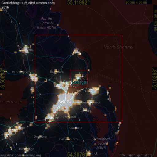
Analysis of Carrickfergus night lights 2016
Square area 10x10 km:
 1.38%
1.38%90-99
4.14%80-89
2.51%70-79
2.26%60-69
2.38%50-59
3.01%40-49
2.76%30-39
1.5%20-29
3.88%10-19
32.71%0-9
43.48%Square area 50x50 km:
2.92%90-99
2.92%80-89
0.84%70-79
1.35%60-69
1.09%50-59
1.26%40-49
1.41%30-39
1.63%20-29
3.52%10-19
8.42%0-9
74.64%Clear (daylight) street map image can be seen on geolist.org.
Map coordinates:
55° 7' 11.7" North, 6° 30' 32.1" West
54° 42' 56.9" North, 5° 48' 20.9" West
54° 18' 27.4" North, 5° 6' 9.6" West
Some cities around Carrickfergus sort by population:
• Newtownabbey
9.1 km =5.7 mi,  226°
226°
• Bangor
11.2 km =7 mi,  128°
128°
• Larne
14.9 km =9.3 mi,  357°
357°
• Dundonald
13.8 km =8.6 mi,  177°
177°
• Holywood
8.7 km =5.4 mi,  188°
188°
• Ballyclare
13 km =8.1 mi,  287°
287°
• Jordanstown
7 km =4.3 mi,  239°
239°
• Greenisland
4.7 km =2.9 mi,  249°
249°
2653680 (p: 29,208)
Sources (retrieved 2019-11-25):
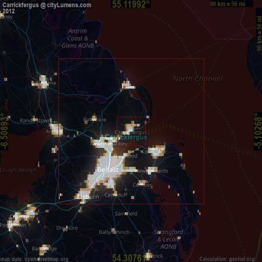
» Earth at Night: Flat Maps 2012, 2016