Staveley night lights from space
Night Light of Staveley (England) from space (United Kingdom) Src. Average luminocity for 10x10km area is 35.8005% and for 50x50km: 23.3225%.
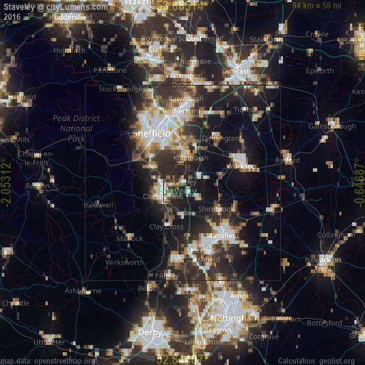
Analysis of Staveley night lights 2016
Square area 10x10 km:
 4.55%
4.55%90-99
5.81%80-89
1.89%70-79
2.15%60-69
5.56%50-59
5.81%40-49
4.55%30-39
6.06%20-29
26.39%10-19
36.99%0-9
0.25%Square area 50x50 km:
3.54%90-99
4.34%80-89
2.28%70-79
2.24%60-69
2.75%50-59
3.08%40-49
3.29%30-39
4.62%20-29
9.35%10-19
14.97%0-9
49.54%Clear (daylight) street map image can be seen on geolist.org.
Map coordinates:
53° 41' 6.5" North, 2° 3' 11.2" West
53° 16' 0" North, 1° 21' 0" West
52° 50' 38.7" North, 0° 38' 48.7" West
Some cities around Staveley sort by population:
• Chesterfield
4.8 km =3 mi,  247°
247°
• Dronfield
9.2 km =5.7 mi,  295°
295°
• Bolsover
5.7 km =3.5 mi,  137°
137°
• Beighton
7.5 km =4.7 mi,  8°
8°
• Killamarsh
6.7 km =4.2 mi,  19°
19°
• Clowne
5.8 km =3.6 mi,  81°
81°
• Wingerworth
9.1 km =5.7 mi,  217°
217°
• Creswell
8.7 km =5.4 mi,  92°
92°
2636995 (p: 25,719)
Sources (retrieved 2019-11-25):
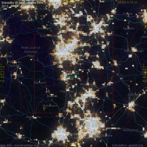
» Earth at Night: Flat Maps 2012, 2016