Dronfield night lights from space
Night Light of Dronfield (England) from space (United Kingdom) Src. Average luminocity for 10x10km area is 35.8308% and for 50x50km: 22.9516%.
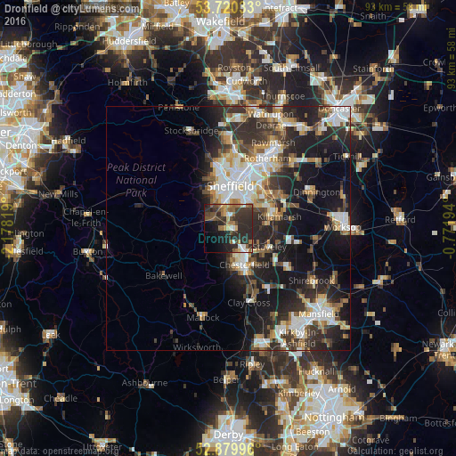
Analysis of Dronfield night lights 2016
Square area 10x10 km:
 2.65%
2.65%90-99
3.66%80-89
3.91%70-79
2.02%60-69
8.96%50-59
6.19%40-49
5.68%30-39
12.63%20-29
26.77%10-19
13.38%0-9
14.14%Square area 50x50 km:
3.94%90-99
4.58%80-89
2.39%70-79
2.27%60-69
2.73%50-59
2.77%40-49
3.12%30-39
4.49%20-29
8.66%10-19
13.16%0-9
51.89%Clear (daylight) street map image can be seen on geolist.org.
Map coordinates:
53° 43' 13.2" North, 2° 10' 41.5" West
53° 18' 8" North, 1° 28' 30.3" West
52° 52' 47.9" North, 0° 46' 19" West
Some cities around Dronfield sort by population:
• Sheffield
9 km =5.6 mi,  3°
3°
• Chesterfield
7 km =4.3 mi,  146°
146°
• Burngreave
10.2 km =6.3 mi,  6°
6°
• Staveley
9.2 km =5.7 mi,  115°
115°
• Beighton
10 km =6.2 mi,  69°
69°
• Killamarsh
10.8 km =6.7 mi,  77°
77°
• Wingerworth
11.5 km =7.1 mi,  166°
166°
• Wales
13.5 km =8.4 mi, 71°
2650967 (p: 21,124)
Sources (retrieved 2019-11-25):
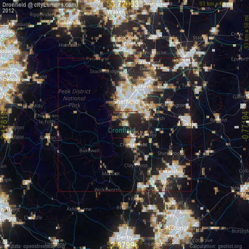
» Earth at Night: Flat Maps 2012, 2016