Southall night lights from space
Night Light of Southall (England) from space (United Kingdom) Src. Average luminocity for 10x10km area is 95.6096% and for 50x50km: 62.6%.
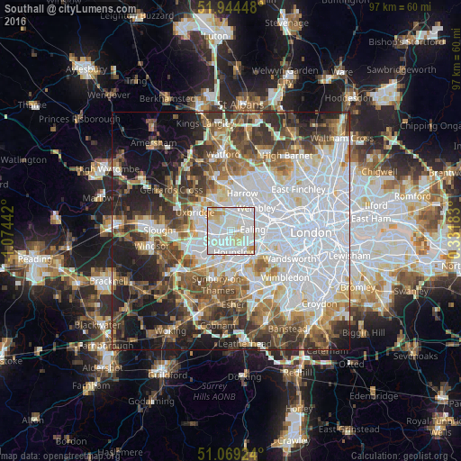
Analysis of Southall night lights 2016
Square area 10x10 km:
 42.11%
90-99
40.37%80-89
12.3%70-79
3.74%60-69
1.47%50-59
0%40-49
0%30-39
0%20-29
0%10-19
0%0-9
0%Square area 50x50 km:
22.94%90-99
13.54%80-89
5.49%70-79
4.97%60-69
6.69%50-59
7.48%40-49
7.52%30-39
7.57%20-29
8.68%10-19
10.18%0-9
4.94%Clear (daylight) street map image can be seen on geolist.org.
Map coordinates:
51° 56' 40.1" North, 1° 4' 27.9" West
51° 30' 32.3" North, 0° 22' 16.7" West
51° 4' 9.3" North, 0° 19' 54.6" East
Some cities around Southall sort by population:
• Hounslow
4.6 km =2.9 mi,  170°
170°
• Acton
6.6 km =4.1 mi,  89°
89°
• Hayes
3.7 km =2.3 mi,  281°
281°
• Greenford
2.5 km =1.6 mi,  27°
27°
• Northolt
4.4 km =2.7 mi,  3°
3°
• Isleworth
4.3 km =2.7 mi,  152°
152°
• West Drayton
6.7 km =4.2 mi,  261°
261°
• Brentford
5 km =3.1 mi,  120°
120°
2637490 (p: 70,000)
Sources (retrieved 2019-11-25):
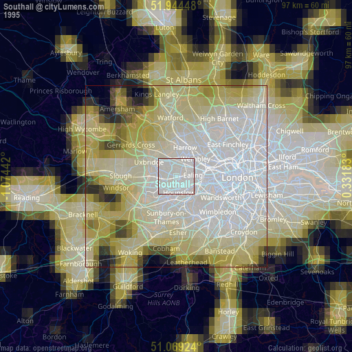
» NASA, Earths city lights 1995
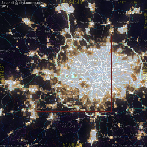
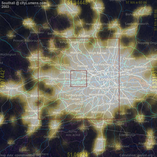
» NASA city lights 2003
» Earth at Night: Flat Maps 2012, 2016