Northolt night lights from space
Night Light of Northolt (England) from space (United Kingdom) Src. Average luminocity for 10x10km area is 94.746% and for 50x50km: 62.3973%.
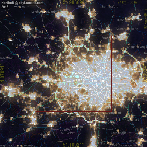
Analysis of Northolt night lights 2016
Square area 10x10 km:
 37.83%
90-99
43.58%80-89
10.96%70-79
4.41%60-69
2.67%50-59
0.53%40-49
0%30-39
0%20-29
0%10-19
0%0-9
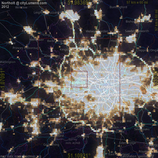
0%Square area 50x50 km:
23.35%90-99
13.59%80-89
5.61%70-79
5.08%60-69
6.6%50-59
7.21%40-49
6.99%30-39
7.16%20-29
8.11%10-19
8.9%0-9
7.41%Clear (daylight) street map image can be seen on geolist.org.
Map coordinates:
51° 59' 1.3" North, 1° 4' 15.3" West
51° 32' 54.8" North, 0° 22' 4" West
51° 6' 33.2" North, 0° 20' 7.2" East
Some cities around Northolt sort by population:
• Brent
4.6 km =2.9 mi,  83°
83°
• Wembley
4.9 km =3 mi, 84°
• Southall
4.4 km =2.7 mi,  183°
183°
• Greenford
2.4 km =1.5 mi,  158°
158°
• Ruislip
4.7 km =2.9 mi,  305°
305°
• Pinner
5.1 km =3.2 mi,  348°
348°
• Harrow on the Hill
3.5 km =2.2 mi,  42°
42°
• Greenhill
4.4 km =2.7 mi,  27°
27°
2641290 (p: 26,000)
Sources (retrieved 2019-11-25):
» Earth at Night: Flat Maps 2012, 2016