Acton night lights from space
Night Light of Acton (England) from space (United Kingdom) Src. Average luminocity for 10x10km area is 98.1671% and for 50x50km: 68.0332%.
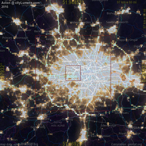
Analysis of Acton night lights 2016
Square area 10x10 km:
 64.3%
64.3%90-99
29.01%80-89
5.48%70-79
0.94%60-69
0.27%50-59
0%40-49
0%30-39
0%20-29
0%10-19
0%0-9
0%Square area 50x50 km:
26.73%90-99
15.41%80-89
6.31%70-79
5.31%60-69
6.84%50-59
7.26%40-49
7.04%30-39
7.09%20-29
7.46%10-19
7.64%0-9
2.93%Clear (daylight) street map image can be seen on geolist.org.
Map coordinates:
51° 56' 40.3" North, 0° 58' 45.6" West
51° 30' 32.4" North, 0° 16' 34.3" West
51° 4' 9.4" North, 0° 25' 36.9" East
Some cities around Acton sort by population:
• Brent
5.2 km =3.2 mi,  339°
339°
• Wembley
5 km =3.1 mi, 343°
• Southall
6.6 km =4.1 mi,  269°
269°
• Greenford
5.9 km =3.7 mi,  291°
291°
• Isleworth
5.9 km =3.7 mi,  230°
230°
• Bayswater
6.4 km =4 mi,  87°
87°
• Brentford
3.4 km =2.1 mi,  221°
221°
• Richmond
5.7 km =3.5 mi,  201°
201°
2657697 (p: 53,689)
Sources (retrieved 2019-11-25):
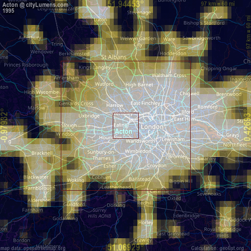
» NASA, Earths city lights 1995
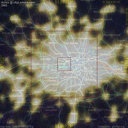
» NASA city lights 2003
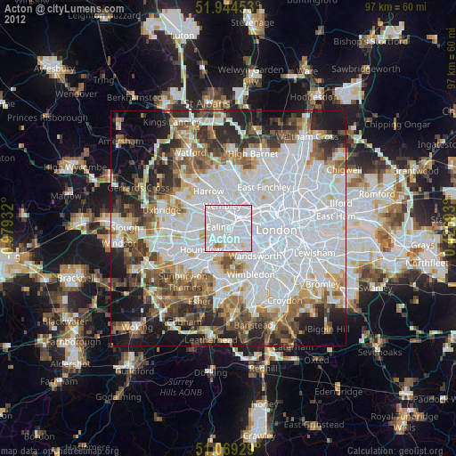
» Earth at Night: Flat Maps 2012, 2016