Sandbach night lights from space
Night Light of Sandbach (England) from space (United Kingdom) Src. Average luminocity for 10x10km area is 15.6124% and for 50x50km: 18.5308%.
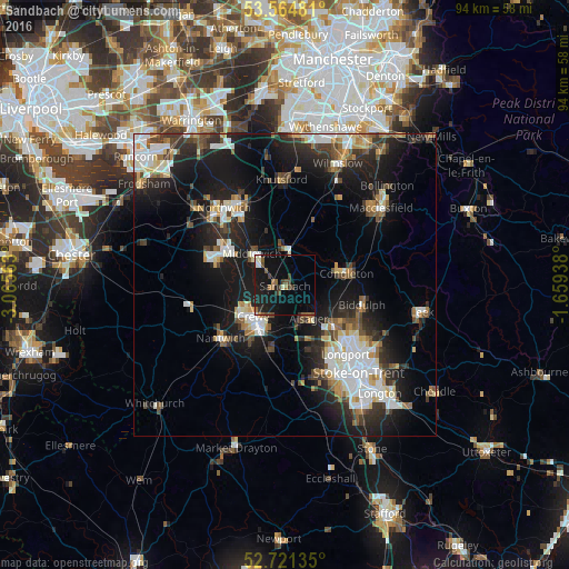
Analysis of Sandbach night lights 2016
Square area 10x10 km:
 1.01%
1.01%90-99
2.15%80-89
0.38%70-79
0.25%60-69
2.9%50-59
3.03%40-49
2.15%30-39
3.54%20-29
2.65%10-19
23.99%0-9
57.95%Square area 50x50 km:
3.37%90-99
3.44%80-89
1.75%70-79
1.52%60-69
1.87%50-59
2.22%40-49
2.46%30-39
2.93%20-29
5.94%10-19
15.21%0-9
59.3%Clear (daylight) street map image can be seen on geolist.org.
Map coordinates:
53° 33' 53.3" North, 3° 3' 56.3" West
53° 8' 42.5" North, 2° 21' 45" West
52° 43' 16.9" North, 1° 39' 33.8" West
Some cities around Sandbach sort by population:
• Crewe
7.4 km =4.6 mi,  225°
225°
• Winsford
11.9 km =7.4 mi,  295°
295°
• Kidsgrove
10.5 km =6.5 mi,  127°
127°
• Congleton
10.2 km =6.3 mi,  78°
78°
• Middlewich
7.6 km =4.7 mi,  314°
314°
• Alsager
6.6 km =4.1 mi,  145°
145°
• Audley
11.4 km =7.1 mi,  158°
158°
• Holmes Chapel
6.3 km =3.9 mi,  3°
3°
2638600 (p: 17,976)
Sources (retrieved 2019-11-25):
» Earth at Night: Flat Maps 2012, 2016