Ruislip night lights from space
Night Light of Ruislip (England) from space (United Kingdom) Src. Average luminocity for 10x10km area is 79.8289% and for 50x50km: 57.1742%.
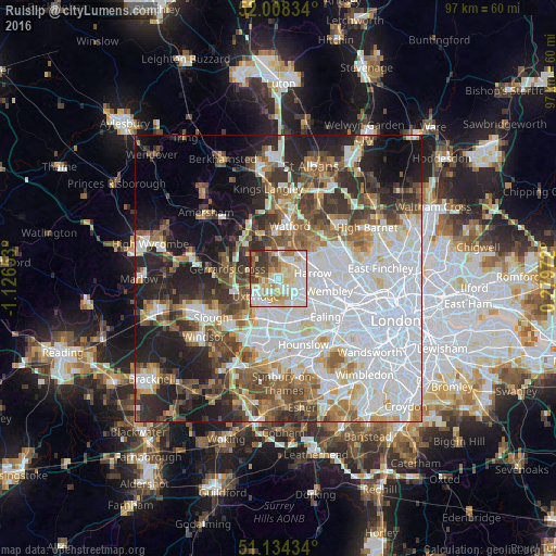
Analysis of Ruislip night lights 2016
Square area 10x10 km:
 18.85%
90-99
28.07%80-89
13.9%70-79
10.43%60-69
9.49%50-59
5.88%40-49
4.01%30-39
8.29%20-29
1.07%10-19
0%0-9
0%Square area 50x50 km:
20.04%90-99
12.81%80-89
5.11%70-79
4.54%60-69
6.07%50-59
6.66%40-49
6.49%30-39
6.47%20-29
9.39%10-19
11.14%0-9
11.29%Clear (daylight) street map image can be seen on geolist.org.
Map coordinates:
52° 0' 30" North, 1° 7' 35.5" West
51° 34' 24.4" North, 0° 25' 24.3" West
51° 8' 3.6" North, 0° 16' 47" East
Some cities around Ruislip sort by population:
• Hayes
6.4 km =4 mi,  179°
179°
• Greenford
6.9 km =4.3 mi,  136°
136°
• Northolt
4.7 km =2.9 mi,  125°
125°
• Pinner
3.6 km =2.2 mi,  51°
51°
• Harrow on the Hill
6.2 km =3.9 mi,  92°
92°
• Greenhill
6 km =3.7 mi,  79°
79°
• Iver Heath
7.7 km =4.8 mi,  237°
237°
• Harefield
5.4 km =3.4 mi,  307°
307°
2638976 (p: 31,000)
Sources (retrieved 2019-11-25):
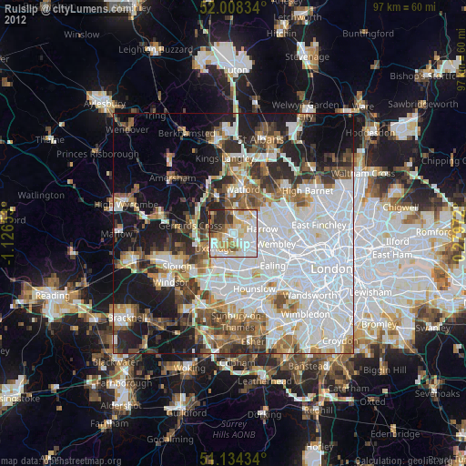
» Earth at Night: Flat Maps 2012, 2016