East Grinstead night lights from space
Night Light of East Grinstead (England) from space (United Kingdom) Src. Average luminocity for 10x10km area is 5.3249% and for 50x50km: 12.5134%.
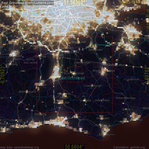
Analysis of East Grinstead night lights 2016
Square area 10x10 km:
 0%
0%90-99
0.67%80-89
0.4%70-79
0%60-69
0.53%50-59
2.01%40-49
2.14%30-39
2.01%20-29
0.67%10-19
1.2%0-9
90.37%Square area 50x50 km:
0.93%90-99
1.48%80-89
0.85%70-79
1.32%60-69
2.02%50-59
2.5%40-49
3.24%30-39
2.93%20-29
4.01%10-19
8.26%0-9
72.46%Clear (daylight) street map image can be seen on geolist.org.
Map coordinates:
51° 33' 46.9" North, 0° 42' 33.2" West
51° 7' 25.8" North, 0° 0' 22" West
50° 40' 49.4" North, 0° 41' 49.3" East
Some cities around East Grinstead sort by population:
• Crawley
12.4 km =7.7 mi,  264°
264°
• Horley
12.1 km =7.5 mi,  297°
297°
• Crowborough
13.7 km =8.5 mi,  120°
120°
• Broadfield
14.3 km =8.9 mi, 258°
• Edenbridge
9.1 km =5.7 mi,  34°
34°
• Maidenbower
10.4 km =6.5 mi, 260°
• Langley Green
13.4 km =8.3 mi,  272°
272°
• Furnace Green
11.5 km =7.1 mi, 260°
2650435 (p: 26,523)
Sources (retrieved 2019-11-25):
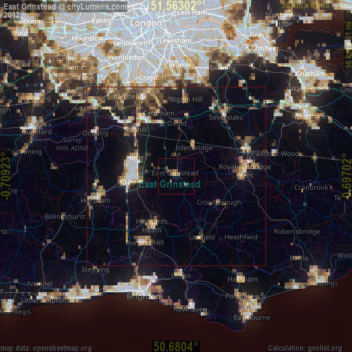
» Earth at Night: Flat Maps 2012, 2016