Redditch night lights from space
Night Light of Redditch (England) from space (United Kingdom) Src. Average luminocity for 10x10km area is 33.9419% and for 50x50km: 27.2199%.
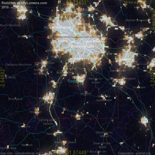
Analysis of Redditch night lights 2016
Square area 10x10 km:
 3.66%
3.66%90-99
6.44%80-89
2.53%70-79
4.8%60-69
4.92%50-59
5.05%40-49
5.56%30-39
2.4%20-29
15.15%10-19
33.21%0-9
16.29%Square area 50x50 km:
8.28%90-99
7.23%80-89
2.11%70-79
2.15%60-69
2.21%50-59
2.01%40-49
2.58%30-39
2.63%20-29
5.15%10-19
11.34%0-9
54.31%Clear (daylight) street map image can be seen on geolist.org.
Map coordinates:
52° 44' 3.6" North, 2° 38' 55.8" West
52° 18' 23.4" North, 1° 56' 44.5" West
51° 52' 28.2" North, 1° 14' 33.3" West
Some cities around Redditch sort by population:
• Bromsgrove
8.4 km =5.2 mi,  292°
292°
• Shirley
14.4 km =8.9 mi,  36°
36°
• Bartley Green
14.7 km =9.1 mi,  346°
346°
• Droitwich
14.6 km =9.1 mi,  252°
252°
• Dorridge
15 km =9.3 mi,  60°
60°
• Alcester
11.3 km =7 mi,  151°
151°
• Studley
5.4 km =3.4 mi,  137°
137°
• Barnt Green
7.2 km =4.5 mi,  324°
324°
2639557 (p: 84,300)
Sources (retrieved 2019-11-25):
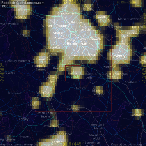
» NASA, Earths city lights 1995
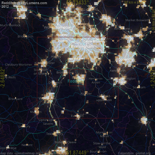
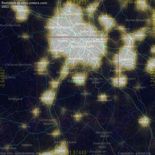
» NASA city lights 2003
» Earth at Night: Flat Maps 2012, 2016