Bartley Green night lights from space
Night Light of Bartley Green (England) from space (United Kingdom) Src. Average luminocity for 10x10km area is 82.0114% and for 50x50km: 38.3699%.
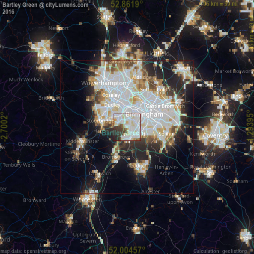
Analysis of Bartley Green night lights 2016
Square area 10x10 km:
 30.81%
90-99
34.34%80-89
7.7%70-79
2.02%60-69
2.65%50-59
3.91%40-49
4.17%30-39
6.94%20-29
6.69%10-19
0.76%0-9
0%Square area 50x50 km:
12.52%90-99
10.4%80-89
3.08%70-79
3.21%60-69
3.41%50-59
2.86%40-49
3.57%30-39
3.24%20-29
7.43%10-19
11.81%0-9
38.47%Clear (daylight) street map image can be seen on geolist.org.
Map coordinates:
52° 51' 42.8" North, 2° 42' 0.7" West
52° 26' 7.2" North, 1° 59' 49.5" West
52° 0' 16.5" North, 1° 17' 38.2" West
Some cities around Bartley Green sort by population:
• Birmingham
8.3 km =5.2 mi,  52°
52°
• Halesowen
3.8 km =2.4 mi,  292°
292°
• Hockley
9 km =5.6 mi,  37°
37°
• Smethwick
6.7 km =4.2 mi,  17°
17°
• Oldbury
7.3 km =4.5 mi,  349°
349°
• Hagley
8.9 km =5.5 mi,  263°
263°
• Barnt Green
8.5 km =5.3 mi,  184°
184°
• Cradley Heath
7.1 km =4.4 mi,  305°
305°
7302130 (p: 25,473)
Sources (retrieved 2019-11-25):
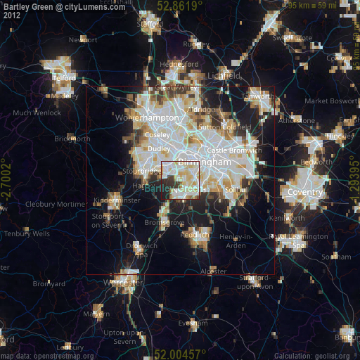
» Earth at Night: Flat Maps 2012, 2016