Droitwich night lights from space
Night Light of Droitwich (England) from space (United Kingdom) Src. Average luminocity for 10x10km area is 15.8386% and for 50x50km: 17.9564%.
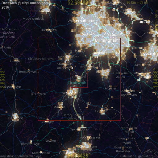
Analysis of Droitwich night lights 2016
Square area 10x10 km:
 0.79%
0.79%90-99
1.32%80-89
1.06%70-79
1.59%60-69
1.59%50-59
2.51%40-49
2.38%30-39
2.78%20-29
5.16%10-19
23.02%0-9
57.8%Square area 50x50 km:
4.6%90-99
4.67%80-89
1.46%70-79
1.43%60-69
1.54%50-59
1.74%40-49
1.81%30-39
2.09%20-29
3.97%10-19
8.12%0-9
68.57%Clear (daylight) street map image can be seen on geolist.org.
Map coordinates:
52° 41' 41.6" North, 2° 51' 11.3" West
52° 16' 0" North, 2° 9' 0" West
51° 50' 3.4" North, 1° 26' 48.8" West
Some cities around Droitwich sort by population:
• Worcester
9.8 km =6.1 mi,  209°
209°
• Redditch
14.6 km =9.1 mi,  72°
72°
• Kidderminster
15.1 km =9.4 mi,  333°
333°
• Bromsgrove
9.8 km =6.1 mi,  38°
38°
• Stourport-on-Severn
12 km =7.5 mi,  312°
312°
• Bewdley
16.7 km =10.4 mi,  316°
316°
• Studley
17.6 km =10.9 mi,  88°
88°
• Barnt Green
14.1 km =8.8 mi, 43°
2650983 (p: 23,834)
Sources (retrieved 2019-11-25):
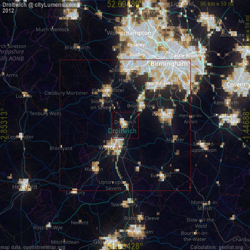
» Earth at Night: Flat Maps 2012, 2016