Bromsgrove night lights from space
Night Light of Bromsgrove (England) from space (United Kingdom) Src. Average luminocity for 10x10km area is 24.6439% and for 50x50km: 29.1157%.
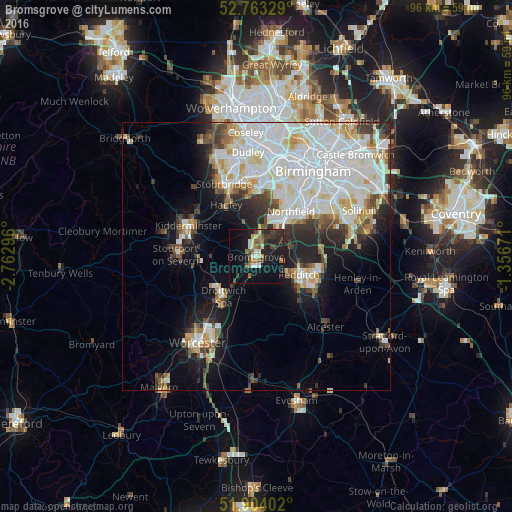

Analysis of Bromsgrove night lights 2016
Square area 10x10 km:
 1.89%
1.89%90-99
3.54%80-89
2.27%70-79
1.64%60-69
3.54%50-59
3.41%40-49
4.55%30-39
5.18%20-29
8.84%10-19
30.05%0-9
35.1%Square area 50x50 km:
9.44%90-99
8.2%80-89
2.49%70-79
2.24%60-69
2.19%50-59
2.05%40-49
2.58%30-39
2.79%20-29
4.69%10-19
9.03%0-9
54.29%Clear (daylight) street map image can be seen on geolist.org.
Map coordinates:
52° 45' 47.8" North, 2° 45' 46.7" West
52° 20' 8.7" North, 2° 3' 35.4" West
51° 54' 14.5" North, 1° 21' 24.2" West
Some cities around Bromsgrove sort by population:
• Redditch
8.4 km =5.2 mi,  112°
112°
• Kidderminster
14.2 km =8.8 mi,  294°
294°
• Halesowen
12.6 km =7.8 mi,  3°
3°
• Bartley Green
11.9 km =7.4 mi,  21°
21°
• Droitwich
9.8 km =6.1 mi,  218°
218°
• Studley
13.5 km =8.4 mi,  122°
122°
• Hagley
11.1 km =6.9 mi,  335°
335°
• Barnt Green
4.4 km =2.7 mi,  54°
54°
2654579 (p: 49,117)
Sources (retrieved 2019-11-25):
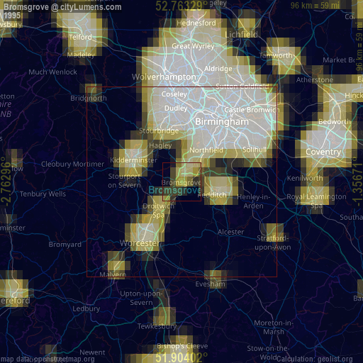
» NASA, Earths city lights 1995
» NASA city lights 2003
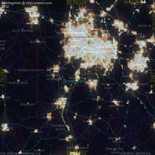
» Earth at Night: Flat Maps 2012, 2016