Shirley night lights from space
Night Light of Shirley (England) from space (United Kingdom) Src. Average luminocity for 10x10km area is 76.6414% and for 50x50km: 41.9418%.
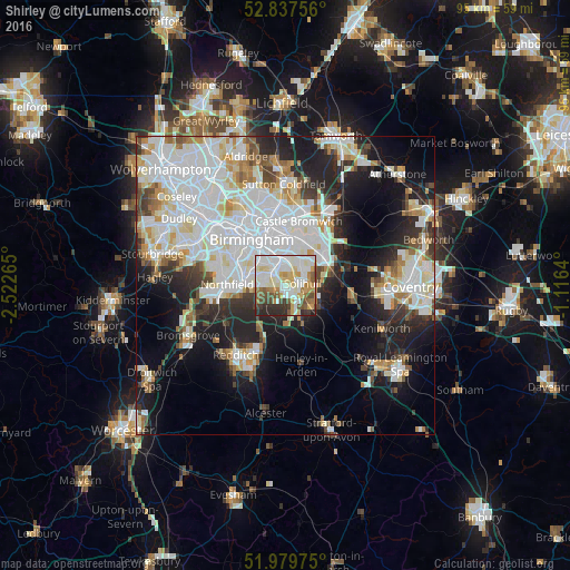
Analysis of Shirley night lights 2016
Square area 10x10 km:
 22.47%
90-99
25.63%80-89
8.59%70-79
9.22%60-69
6.57%50-59
7.07%40-49
7.2%30-39
5.68%20-29
7.58%10-19
0%0-9
0%Square area 50x50 km:
13.57%90-99
11.69%80-89
3.68%70-79
3.38%60-69
3.67%50-59
2.87%40-49
3.23%30-39
3.72%20-29
8.31%10-19
13.44%0-9
32.44%Clear (daylight) street map image can be seen on geolist.org.
Map coordinates:
52° 50' 15.2" North, 2° 31' 21.5" West
52° 24' 38.7" North, 1° 49' 10.3" West
51° 58' 47.1" North, 1° 6' 59" West
Some cities around Shirley sort by population:
• Birmingham
9.6 km =6 mi,  325°
325°
• Solihull
2.6 km =1.6 mi,  81°
81°
• Washwood Heath
10 km =6.2 mi,  357°
357°
• Aston
10.8 km =6.7 mi,  336°
336°
• Acocks Green
4.4 km =2.7 mi,  2°
2°
• Chelmsley Wood
9.3 km =5.8 mi,  36°
36°
• Knowle
6.6 km =4.1 mi,  117°
117°
• Dorridge
6.2 km =3.9 mi,  133°
133°
8224782 (p: 32,000)
Sources (retrieved 2019-11-25):
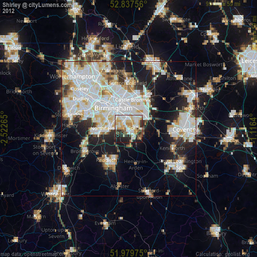
» Earth at Night: Flat Maps 2012, 2016