Rainham night lights from space
Night Light of Rainham (England) from space (United Kingdom) Src. Average luminocity for 10x10km area is 39.5322% and for 50x50km: 23.4797%.
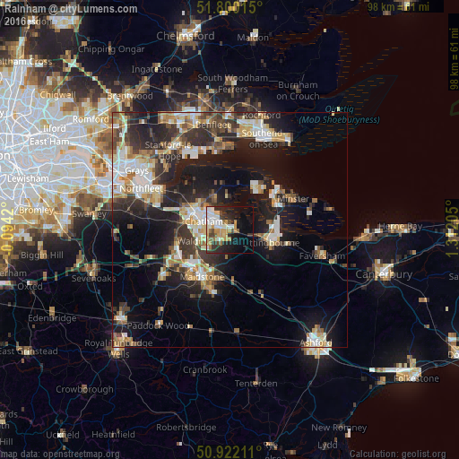
Analysis of Rainham night lights 2016
Square area 10x10 km:
 6.72%
6.72%90-99
8.82%80-89
4.34%70-79
9.52%60-69
3.08%50-59
2.8%40-49
3.64%30-39
5.88%20-29
9.8%10-19
17.51%0-9
27.87%Square area 50x50 km:
3.42%90-99
4.47%80-89
2.59%70-79
2.98%60-69
3.16%50-59
2.48%40-49
3.23%30-39
4.24%20-29
7.82%10-19
14.96%0-9
50.65%Clear (daylight) street map image can be seen on geolist.org.
Map coordinates:
51° 48' 0.5" North, 0° 5' 39.1" West
51° 21' 47.6" North, 0° 36' 32.1" East
50° 55' 19.6" North, 1° 18' 43.4" East
Some cities around Rainham sort by population:
• Maidstone
12.5 km =7.8 mi,  210°
210°
• Gillingham
5.1 km =3.2 mi,  304°
304°
• Chatham
5.9 km =3.7 mi,  287°
287°
• Sittingbourne
8.9 km =5.5 mi,  105°
105°
• Strood
9.7 km =6 mi, 290°
• Rochester
7.7 km =4.8 mi, 290°
• Snodland
12.1 km =7.5 mi,  252°
252°
• Hoo
7.1 km =4.4 mi,  333°
333°
2639691 (p: 6,394)
Sources (retrieved 2019-11-25):
» Earth at Night: Flat Maps 2012, 2016