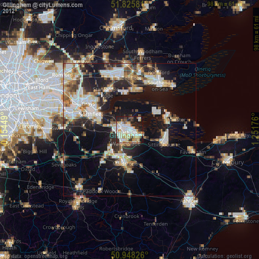
Gillingham night lights from space
Night Light of Gillingham (England) from space (United Kingdom) Src. Average luminocity for 10x10km area is 64.0434% and for 50x50km: 27.0353%.

Analysis of Gillingham night lights 2016
Square area 10x10 km:
 13.59%
90-99
18.49%80-89
10.22%70-79
12.18%60-69
3.5%50-59
5.32%40-49
5.32%30-39
7%20-29
14.15%10-19
9.24%0-9
0.98%Square area 50x50 km:
3.93%90-99
5.17%80-89
3.07%70-79
3.51%60-69
3.58%50-59
3.31%40-49
3.66%30-39
4.86%20-29
8.7%10-19
16.28%0-9
43.92%Clear (daylight) street map image can be seen on geolist.org.
Map coordinates:
51° 49' 32.9" North, 0° 9' 16.2" West
51° 23' 20.9" North, 0° 32' 55.1" East
50° 56' 53.7" North, 1° 15' 6.3" East
Some cities around Gillingham sort by population:
• Chatham
1.8 km =1.1 mi,  231°
231°
• Gravesend
13.6 km =8.5 mi,  295°
295°
• Strood
5 km =3.1 mi,  275°
275°
• Rochester
3 km =1.9 mi,  266°
266°
• Snodland
9.9 km =6.2 mi, 227°
• Larkfield
12 km =7.5 mi,  215°
215°
• Rainham
5.1 km =3.2 mi,  124°
124°
• Hoo
3.6 km =2.2 mi,  15°
15°
2648657 (p: 101,187)
Sources (retrieved 2019-11-25):
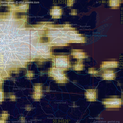
» NASA, Earths city lights 1995
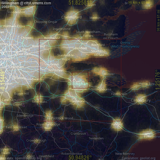
» NASA city lights 2003
» Earth at Night: Flat Maps 2012, 2016