Chatham night lights from space
Night Light of Chatham (England) from space (United Kingdom) Src. Average luminocity for 10x10km area is 68.612% and for 50x50km: 27.9801%.
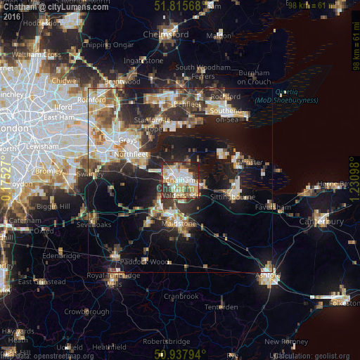
Analysis of Chatham night lights 2016
Square area 10x10 km:
 13.73%
90-99
19.33%80-89
12.75%70-79
11.9%60-69
5.88%50-59
6.58%40-49
4.9%30-39
12.89%20-29
10.22%10-19
1.82%0-9
0%Square area 50x50 km:
4.28%90-99
5.49%80-89
3.41%70-79
3.56%60-69
3.61%50-59
3.41%40-49
3.71%30-39
4.77%20-29
8.48%10-19
15.87%0-9
43.41%Clear (daylight) street map image can be seen on geolist.org.
Map coordinates:
51° 48' 56.4" North, 0° 10' 31" West
51° 22' 44.1" North, 0° 31' 40.3" East
50° 56' 16.6" North, 1° 13' 51.5" East
Some cities around Chatham sort by population:
• Maidstone
12.5 km =7.8 mi,  183°
183°
• Gillingham
1.8 km =1.1 mi,  51°
51°
• Strood
3.9 km =2.4 mi,  294°
294°
• Rochester
1.8 km =1.1 mi,  301°
301°
• Snodland
8 km =5 mi,  227°
227°
• Larkfield
10.2 km =6.3 mi,  212°
212°
• Rainham
5.9 km =3.7 mi,  107°
107°
• Hoo
5.2 km =3.2 mi,  27°
27°
2653305 (p: 75,509)
Sources (retrieved 2019-11-25):
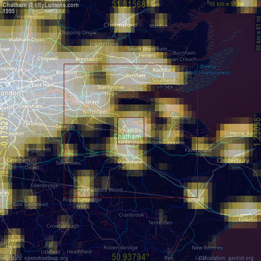
» NASA, Earths city lights 1995
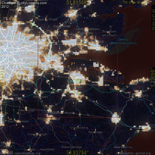
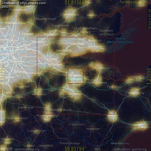
» NASA city lights 2003
» Earth at Night: Flat Maps 2012, 2016