Radcliffe night lights from space
Night Light of Radcliffe (England) from space (United Kingdom) Src. Average luminocity for 10x10km area is 73.7664% and for 50x50km: 47.5376%.
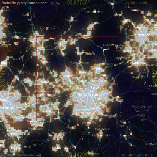
Analysis of Radcliffe night lights 2016
Square area 10x10 km:
 12.75%
90-99
16.54%80-89
11.74%70-79
12.75%60-69
20.71%50-59
13.76%40-49
7.7%30-39
2.9%20-29
1.14%10-19
0%0-9
0%Square area 50x50 km:
12.42%90-99
10.67%80-89
4.63%70-79
5.34%60-69
6.09%50-59
5.75%40-49
6.38%30-39
6.14%20-29
9.58%10-19
13.3%0-9
19.69%Clear (daylight) street map image can be seen on geolist.org.
Map coordinates:
53° 58' 38.5" North, 3° 1' 39.6" West
53° 33' 42.4" North, 2° 19' 28.4" West
53° 8' 31.5" North, 1° 37' 17.1" West
Some cities around Radcliffe sort by population:
• Bury
4.5 km =2.8 mi,  20°
20°
• Prestwich
4.2 km =2.6 mi,  139°
139°
• Farnworth
5.2 km =3.2 mi,  255°
255°
• Whitefield
2.1 km =1.3 mi,  128°
128°
• Little Lever
3.5 km =2.2 mi,  273°
273°
• Little Hulton
6.9 km =4.3 mi,  242°
242°
• Kearsley
5 km =3.1 mi,  230°
230°
• Tottington
5.8 km =3.6 mi,  349°
349°
6691227 (p: 34,239)
Sources (retrieved 2019-11-25):
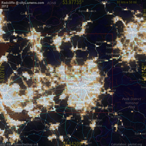
» Earth at Night: Flat Maps 2012, 2016