Whitefield night lights from space
Night Light of Whitefield (England) from space (United Kingdom) Src. Average luminocity for 10x10km area is 78.5093% and for 50x50km: 45.363%.
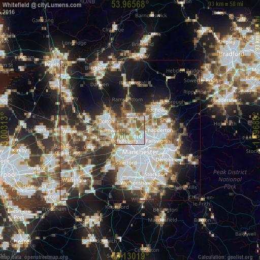
Analysis of Whitefield night lights 2016
Square area 10x10 km:
 18.39%
90-99
19.71%80-89
12.7%70-79
11.9%60-69
17.33%50-59
13.1%40-49
6.75%30-39
0.13%20-29
0%10-19
0%0-9
0%Square area 50x50 km:
11.91%90-99
10.06%80-89
4.42%70-79
4.91%60-69
5.65%50-59
5.34%40-49
5.87%30-39
6.03%20-29
9.68%10-19
14.14%0-9
21.99%Clear (daylight) street map image can be seen on geolist.org.
Map coordinates:
53° 57' 56.4" North, 3° 0' 11.3" West
53° 33' 0" North, 2° 18' 0" West
53° 7' 48.7" North, 1° 35' 48.8" West
Some cities around Whitefield sort by population:
• Bury
5.6 km =3.5 mi,  0°
0°
• Middleton
6.6 km =4.1 mi,  90°
90°
• Radcliffe
2.1 km =1.3 mi,  308°
308°
• Prestwich
2.2 km =1.4 mi,  149°
149°
• Swinton
6.5 km =4 mi,  210°
210°
• Crumpsall
5.1 km =3.2 mi,  133°
133°
• Little Lever
5.4 km =3.4 mi,  286°
286°
• Kearsley
5.8 km =3.6 mi,  251°
251°
2634103 (p: 23,545)
Sources (retrieved 2019-11-25):
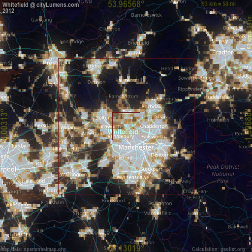
» Earth at Night: Flat Maps 2012, 2016