Bury night lights from space
Night Light of Bury (England) from space (United Kingdom) Src. Average luminocity for 10x10km area is 53.5341% and for 50x50km: 43.7583%.
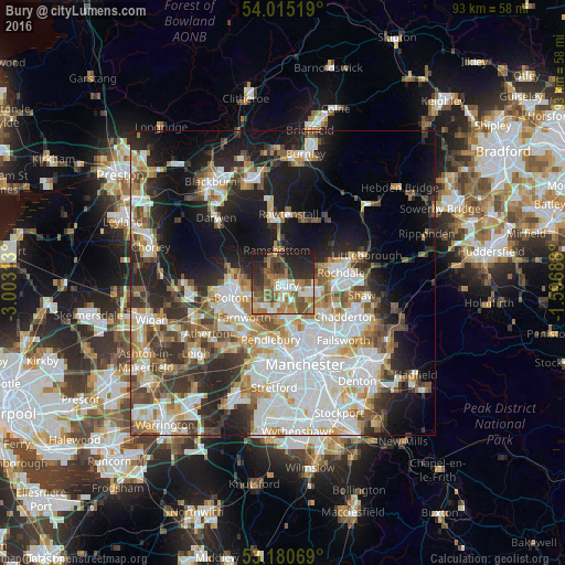
Analysis of Bury night lights 2016
Square area 10x10 km:
 6.19%
6.19%90-99
9.47%80-89
6.06%70-79
4.04%60-69
15.28%50-59
14.02%40-49
9.72%30-39
6.94%20-29
17.68%10-19
10.61%0-9
0%Square area 50x50 km:
11.57%90-99
9.74%80-89
4.25%70-79
4.82%60-69
5.45%50-59
5.07%40-49
5.41%30-39
5.41%20-29
8.9%10-19
14.63%0-9
24.75%Clear (daylight) street map image can be seen on geolist.org.
Map coordinates:
54° 0' 54.7" North, 3° 0' 11.3" West
53° 36' 0" North, 2° 18' 0" West
53° 10' 50.5" North, 1° 35' 48.8" West
Some cities around Bury sort by population:
• Middleton
8.6 km =5.3 mi,  130°
130°
• Radcliffe
4.5 km =2.8 mi,  200°
200°
• Prestwich
7.5 km =4.7 mi,  171°
171°
• Heywood
5.4 km =3.4 mi,  98°
98°
• Whitefield
5.6 km =3.5 mi,  180°
180°
• Ramsbottom
5.4 km =3.4 mi,  348°
348°
• Little Lever
6.6 km =4.1 mi,  231°
231°
• Tottington
3.1 km =1.9 mi,  298°
298°
2654187 (p: 61,044)
Sources (retrieved 2019-11-25):
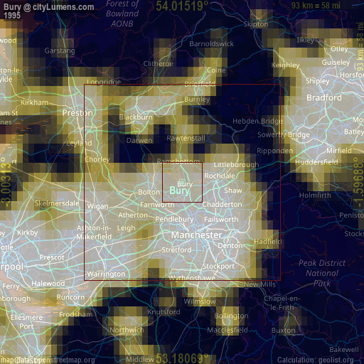
» NASA, Earths city lights 1995
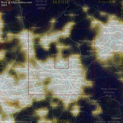
» NASA city lights 2003
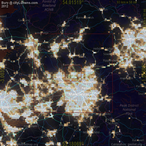
» Earth at Night: Flat Maps 2012, 2016