Prestwich night lights from space
Night Light of Prestwich (England) from space (United Kingdom) Src. Average luminocity for 10x10km area is 84.1455% and for 50x50km: 43.7841%.
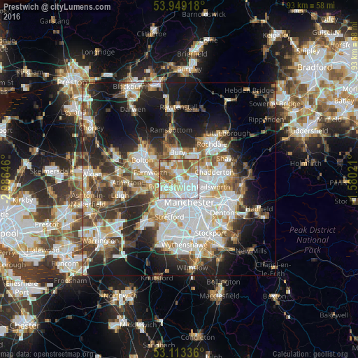
Analysis of Prestwich night lights 2016
Square area 10x10 km:
 32.54%
90-99
19.05%80-89
11.64%70-79
11.77%60-69
13.36%50-59
6.22%40-49
5.42%30-39
0%20-29
0%10-19
0%0-9
0%Square area 50x50 km:
11.56%90-99
9.7%80-89
4.28%70-79
4.65%60-69
5.21%50-59
5.02%40-49
5.46%30-39
5.89%20-29
9.57%10-19
14.95%0-9
23.71%Clear (daylight) street map image can be seen on geolist.org.
Map coordinates:
53° 56' 57" North, 2° 59' 11.3" West
53° 31' 60" North, 2° 16' 60" West
53° 6' 48.1" North, 1° 34' 48.8" West
Some cities around Prestwich sort by population:
• Salford
5.1 km =3.2 mi,  185°
185°
• Middleton
5.8 km =3.6 mi,  71°
71°
• Radcliffe
4.2 km =2.6 mi,  319°
319°
• Whitefield
2.2 km =1.4 mi,  329°
329°
• Swinton
5.8 km =3.6 mi,  229°
229°
• Cheetham Hill
4.9 km =3 mi,  142°
142°
• Crumpsall
3.1 km =1.9 mi,  123°
123°
• Blackley
4.9 km =3 mi,  110°
110°
2639897 (p: 32,125)
Sources (retrieved 2019-11-25):
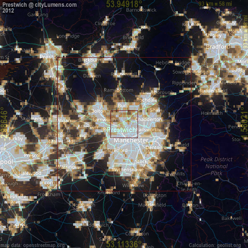
» Earth at Night: Flat Maps 2012, 2016