Pudsey night lights from space
Night Light of Pudsey (England) from space (United Kingdom) Src. Average luminocity for 10x10km area is 88.2183% and for 50x50km: 37.6732%.
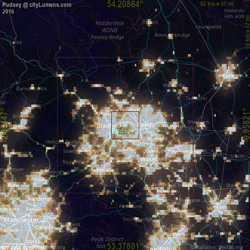
Analysis of Pudsey night lights 2016
Square area 10x10 km:
 36.11%
90-99
29.1%80-89
7.41%70-79
8.2%60-69
10.45%50-59
8.07%40-49
0.66%30-39
0%20-29
0%10-19
0%0-9
0%Square area 50x50 km:
9.71%90-99
8.57%80-89
3.19%70-79
3.85%60-69
4.68%50-59
4.74%40-49
4.41%30-39
5.67%20-29
8.66%10-19
10.14%0-9
36.37%Clear (daylight) street map image can be seen on geolist.org.
Map coordinates:
54° 12' 31.1" North, 2° 21' 52.1" West
53° 47' 43.4" North, 1° 39' 40.8" West
53° 22' 40.8" North, 0° 57' 29.6" West
Some cities around Pudsey sort by population:
• Leeds
7.5 km =4.7 mi,  89°
89°
• Bradford
6 km =3.7 mi,  268°
268°
• Morley
7.4 km =4.6 mi,  146°
146°
• Yeadon
7.9 km =4.9 mi,  347°
347°
• Shipley
8.1 km =5 mi,  301°
301°
• Cleckheaton
8.6 km =5.3 mi,  203°
203°
• Horsforth
5.5 km =3.4 mi,  16°
16°
• Holbeck
6.3 km =3.9 mi,  102°
102°
2639866 (p: 33,109)
Sources (retrieved 2019-11-25):
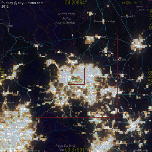
» Earth at Night: Flat Maps 2012, 2016