Bradford night lights from space
Night Light of Bradford (England) from space (United Kingdom) Src. Average luminocity for 10x10km area is 89.0291% and for 50x50km: 35.2163%.
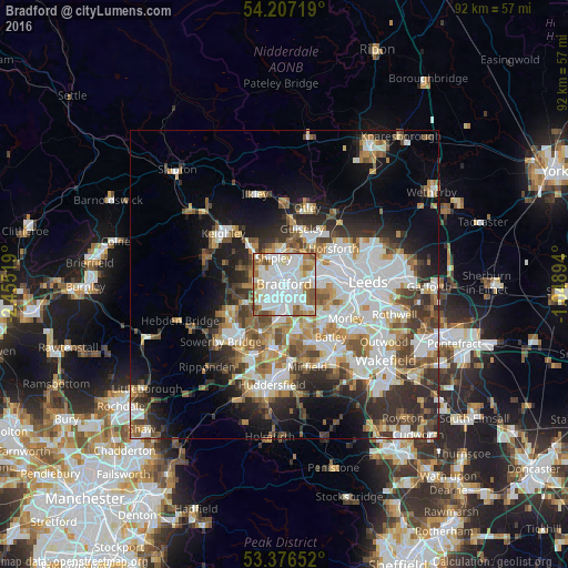
Analysis of Bradford night lights 2016
Square area 10x10 km:
 40.08%
90-99
28.57%80-89
6.48%70-79
6.08%60-69
10.05%50-59
7.14%40-49
1.59%30-39
0%20-29
0%10-19
0%0-9
0%Square area 50x50 km:
9.06%90-99
8.08%80-89
2.95%70-79
3.69%60-69
4.52%50-59
4.54%40-49
4.25%30-39
5.18%20-29
6.98%10-19
9.7%0-9
41.05%Clear (daylight) street map image can be seen on geolist.org.
Map coordinates:
54° 12' 25.9" North, 2° 27' 18.7" West
53° 47' 38.1" North, 1° 45' 7.4" West
53° 22' 35.5" North, 1° 2' 56.2" West
Some cities around Bradford sort by population:
• Yeadon
8.9 km =5.5 mi,  28°
28°
• Pudsey
6 km =3.7 mi,  88°
88°
• Shipley
4.5 km =2.8 mi,  347°
347°
• Cleckheaton
8.2 km =5.1 mi,  161°
161°
• Bingley
8.3 km =5.2 mi,  316°
316°
• Baildon
6.4 km =4 mi,  338°
338°
• Queensbury
7.1 km =4.4 mi,  244°
244°
• Wilsden
7.7 km =4.8 mi,  292°
292°
2654993 (p: 299,310)
Sources (retrieved 2019-11-25):
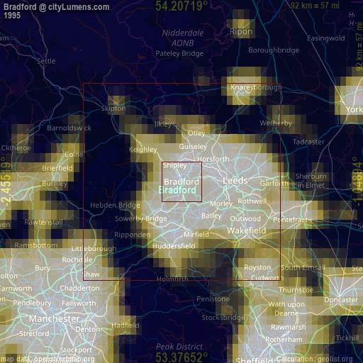
» NASA, Earths city lights 1995
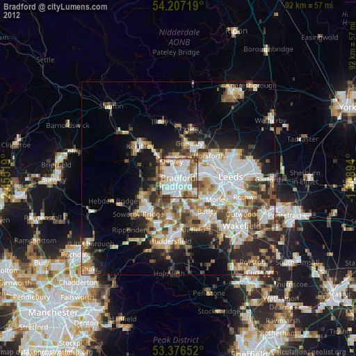
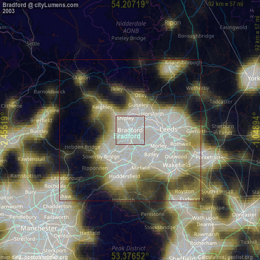
» NASA city lights 2003
» Earth at Night: Flat Maps 2012, 2016