Perth night lights from space
Night Light of Perth (Scotland) from space (United Kingdom) Src. Average luminocity for 10x10km area is 21.2226% and for 50x50km: 2.8453%.
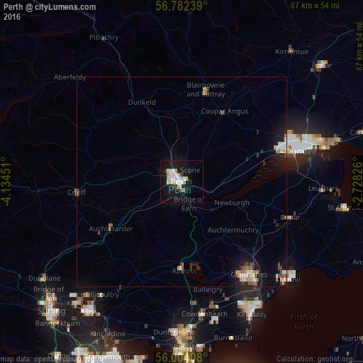
Analysis of Perth night lights 2016
Square area 10x10 km:
 4.4%
4.4%90-99
5.83%80-89
3.1%70-79
1.67%60-69
0.6%50-59
0.83%40-49
1.31%30-39
0.71%20-29
1.31%10-19
25.6%0-9
54.64%Square area 50x50 km:
0.38%90-99
0.49%80-89
0.29%70-79
0.29%60-69
0.37%50-59
0.3%40-49
0.28%30-39
0.27%20-29
0.54%10-19
2.7%0-9
94.1%Clear (daylight) street map image can be seen on geolist.org.
Map coordinates:
56° 46' 56.6" North, 4° 8' 4.2" West
56° 23' 42.8" North, 3° 25' 53" West
56° 0' 14.7" North, 2° 43' 41.7" West
Some cities around Perth sort by population:
• Dundee
29.2 km =18.1 mi,  73°
73°
• Glenrothes
27.4 km =17 mi,  144°
144°
• Cupar
27.2 km =16.9 mi,  108°
108°
• Blairgowrie
22.5 km =14 mi,  14°
14°
• Crieff
25.2 km =15.7 mi,  264°
264°
• Kelty
29.2 km =18.1 mi,  174°
174°
• Lochgelly
30.6 km =19 mi, 165°
• Ballingry
26.5 km =16.5 mi, 166°
2640358 (p: 47,180)
Sources (retrieved 2019-11-25):
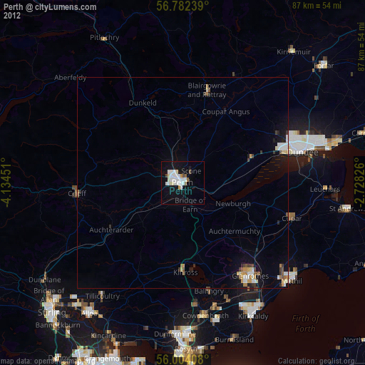
» Earth at Night: Flat Maps 2012, 2016